Overland region
The Tunisian Sahara by 4x4 and motorbike: local guides and trips
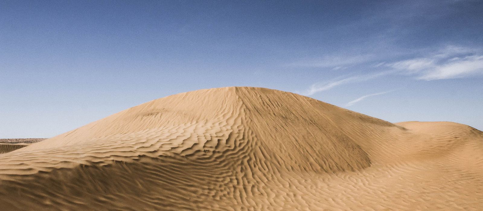
The Tunisian Sahara lies south of the salt pan of Chott el Jerid, where the Grand Erg Oriental begins. Douz, known as the gateway to the Sahara, is a starting point for desert trips by 4x4, motorbike or camel, and Ksar Ghilane, an oasis with a hot spring on the eastern edge of the erg, is the other main stop. For anyone travelling with their own vehicle it means sand tracks through the Jebil National Park, remote spots like Jebel Tembain, Aïn Ouadette and the Sif Essouane dune, and the Roman ruins of Tisavar. Here are the local guides who work in the area and the trips that cross it.
16 local guides and 15 trips in the Tunisian Sahara on GuideMeet.
On the map
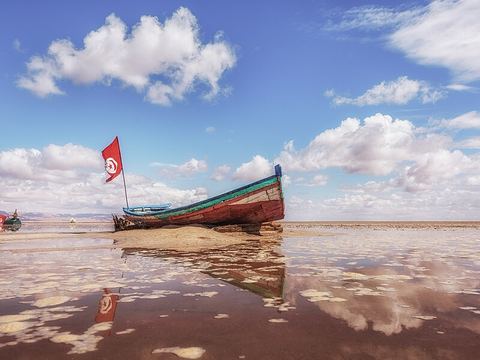 Chott el Jerid — Salt pan. Vast salt pan between Tozeur and Kebili, the largest in the Sahara; how much of it is flooded varies a lot. The salt crust is not always firm, so walking or driving onto it is dangerous. 33.7000, 8.4300 · Google Maps
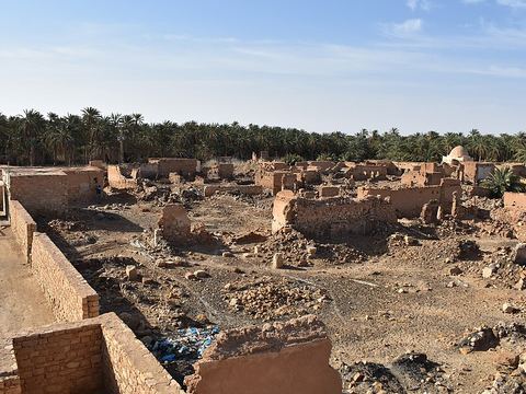 Kebili — Town. Capital of the governorate and one of the oldest oases in Tunisia, south of the Chott el Jerid. Dates are its main crop; Douz, the best-known Saharan destination, lies to the south. 33.7050, 8.9650 · Google Maps
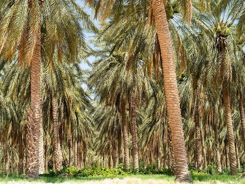 Douz — Town. Town known as the gateway to the Sahara, surrounded by more than 500,000 palm trees. A starting point for desert treks by camel, motorbike or 4x4; it hosts the International Festival of the Sahara. 33.4572, 9.0250 · Google Maps
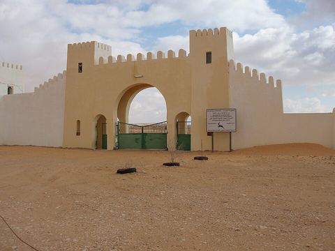 Jebil National Park — Park. National park of 150,000 ha created in 1994, inside the Grand Erg Oriental. Home to dorcas gazelles and fennec foxes, with an enclosure where addax are bred for reintroduction. 33.1026, 9.0608 · Google Maps
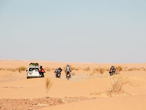 Jebel Tembain — Peak. Hill south of Douz, with its summit at 239 m above sea level; sand tracks link it to Aïn Ouadette, further south. 32.8732, 9.1121 · Google Maps
- Aïn Ouadette — Lake. Small lake and marsh with a hot spring, far to the south of Douz in the sands. It also appears on maps as Houidat Erreched. 32.5946, 9.1096 · Google Maps
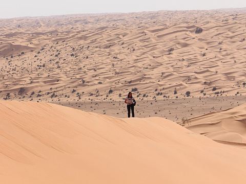 Sif Essouane — Dunes. Big dune in the far south-west of the Tunisian Sahara. The name is also written Sif Es Souane. 32.4251, 8.7872 · Google Maps
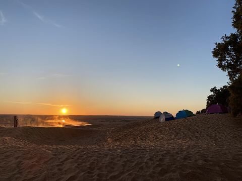 Ksar Ghilane — Oasis. Oasis on the eastern edge of the Grand Erg Oriental, reputed to be the southernmost in Tunisia, with a hot spring where you can swim. An asphalt road links it to Douz, 80 km to the north. 32.9808, 9.6364 · Google Maps
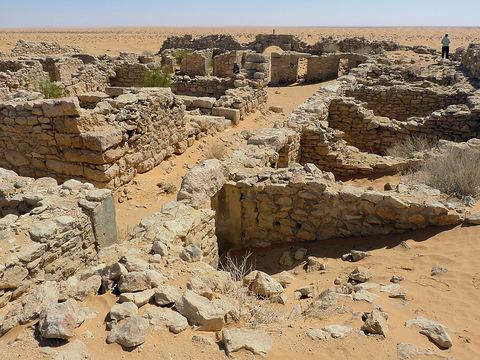 Tisavar — Archaeological site. Ruins of a Roman fort less than 1 km from the Ksar Ghilane palm grove: a border post of the limes Tripolitanus, built at the latest under Commodus (180–192). 33.0086, 9.6162 · Google Maps
- Bir Soltane — Village. Small hamlet with a café and a campsite, about 35 km north of Ksar Ghilane. 33.2841, 9.7104 · Google Maps
Local guides in the Tunisian Sahara
- MAURIZIO TURCO — Roma, Italia · 4x4 car, 4x4 truck, 4x4 van, offroad motorcycle, adventure motorcycle, bicycle / e-bike
- Turista Travel — Douz, Tunisia · 4x4 car, 4x4 truck, camper / van, 4x4 van, offroad motorcycle, adventure motorcycle, bicycle / e-bike
- Chokri Bouarif — Douz, Tunisie · 4x4 car, camper / van, offroad motorcycle, adventure motorcycle, bicycle / e-bike
- Bennasr Mustapha — Sabria, Tunisie · 4x4 car, 4x4 truck, camper / van, 4x4 van, offroad motorcycle, adventure motorcycle
- Yasser Bachtoula — Douz, Tunisie · 4x4 car, 4x4 truck, camper / van, 4x4 van, offroad motorcycle, adventure motorcycle, bicycle / e-bike
- Golden Dunes Voyages — Tozeur, Tunisie · 4x4 car
- Abdelkader Masmoudi — Sfax, Tunisie · adventure motorcycle, bicycle / e-bike, 4x4 van, camper / van, 4x4 car
- Nizar Abdennour — Douz, Tunisia · 4x4 car, 4x4 truck, camper / van, 4x4 van, offroad motorcycle, adventure motorcycle, bicycle / e-bike
- Khaled Hamed — Douz, Tunisia · 4x4 car, offroad motorcycle, adventure motorcycle, camper / van, 4x4 van, 4x4 truck, bicycle / e-bike
- kader elbey — Douz, Tunisie · 4x4 car, offroad motorcycle, adventure motorcycle, bicycle / e-bike
- Mohamed Belhaj Brahim — Douz, Tunisia
- Walymel Travel — Djerba, Tunisie · 4x4 car
More local guides (4)
- Nayer Benboubaker — Sabria, Tunisie
- Tarek Rached — Douz, Tunisia
- Khaled Touil — Douz, Tunisie
- Maher Belghith — Djerba, Tunisie
Overland trips in the Tunisian Sahara
- TUNISIA 4X4 CAPODANNO 2026/2027 CANNONBALL — 12 days · Tunisia
- Douz to Tembaine: 2-Day Sahara 4x4 Expedition — 2 days · Tunisia
- TUNISIA 4X4 - Ksar & Dune — 10 days · Tunisia
- Two Days And One Night under Stars in Ksar Ghilane — 2 days · Tunisia
- Ksar Ghilane et Tataouine Une Aventure dans le désert — 1 days · Tunisia
- 3-Day Private Sahara Adventure: Kairouan, Tozeur & Desert Camp — 3 days · Tunisia
- Private 2-Day Sahara Crossing: El Jem, Star Wars & Desert Camp — 2 days · Tunisia
- Sahara Maktoub sabia al infenito solo sabia — 11 days · Tunisia
- 2-Day Sahara Trip: Djerba to Ksar Ghilane — 2 days · Tunisia
- Moto Douz Sahara — 243 days · Tunisia
- Grand Tour — 243 days · Tunisia
- viste par voiture 4*4 sud tunisien — 4 days · Tunisia
- Sif Essouane Express — 7 days · Tunisia
Trips already run here
- DOUZ-ELMIDA-TEMBEINE — 6 days · Tunisia
- 02 jours Ksar Ghilane — Tunisia
When to go
The cooler months, from October to April, are the most comfortable: at Kebili the average temperature is about 10 °C in January and above 31 °C in July and August, with records close to 49 °C. Winter nights can drop below freezing.
Before you go
- All guides and trips in Tunisia
- Do you need a local guide in Tunisia?
- Is Tunisia safe to travel?
- Driving and local rules in Tunisia
Photo credits
Photos from Wikimedia Commons, under the licences shown.
- Tunisian Sahara: Douz and Ksar Ghilane: Jérôme Prax, CC0
- 1. Chott el Jerid: Atef Ouni, CC BY-SA 4.0
- 2. Kebili: نعيم قربوسي, CC0
- 3. Douz: Skander zarrad, CC BY-SA 4.0
- 4. Jebil National Park: Gallivant (Wikivoyage), CC BY-SA 4.0
- 5. Jebel Tembain: Ena Tounes, CC BY 2.0
- 7. Sif Essouane: Amel Belkhodja, CC BY-SA 4.0
- 8. Ksar Ghilane: PawNui, CC0
- 9. Tisavar: Bellyglad, CC BY 2.0
.jpg)

_L%27ancienne_ville_de_K%C3%A9bili_03.jpg)


.jpg)


,_Tunisia.jpg)