GuideMeet country page
Argentina – overland guides and trips
Argentina is built for long routes, huge scenery, and proper expedition planning. Use GuideMeet to connect with local guides and road partners before crossing Patagonia, deserts, or Andes links.
Local overland guides and active trips in Argentina on GuideMeet.
As of October 2026: 8 local guides on GuideMeet operating in Argentina — 4 4x4, 4 motorcycle, 3 camper / van, 2 bicycle.
Local overland guides in Argentina
 Argentina Campers — Buenos Aires, Argentina · camper / van
Somos Argentina Campers, una empresa que hace más de 6 años brinda alquiler de Motorhomes y camper sin chofer, para que cada viajero pueda recorrer el país de...
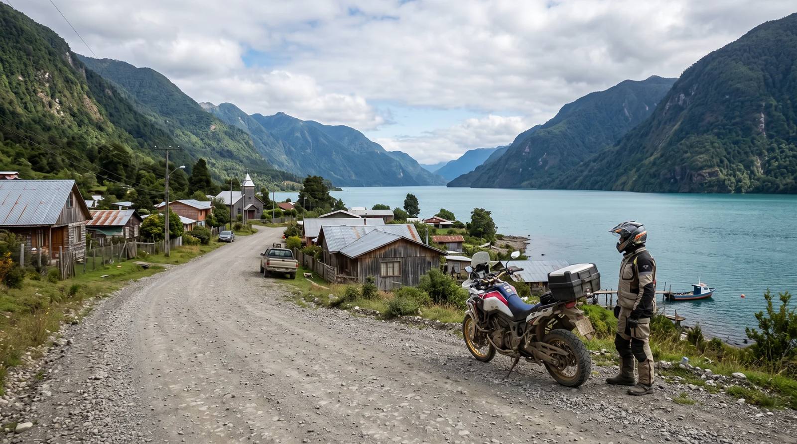 Tomas Karstegl — Punta Arenas, Chile · adventure motorcycle
I’m a motorcycle tour guide and adventure travel specialist based in Chile, with more than 20 years of experience exploring South America on two wheels. Throug...
 MAURIZIO TURCO — Roma, Italia · 4x4 car, 4x4 truck, 4x4 van, offroad motorcycle, adventure motorcycle, bicycle / e-bike
Senza mai cedere alle mode del momento, far strada dove la mappa diventa solo un’ipotesi è una vocazione che si affina unicamente con il tempo. È da questa con...
- Crhistian Austin — Santiago de Chile, Chile · 4x4 car, 4x4 truck, offroad motorcycle, adventure motorcycle
CRHISTIAN AUSTIN Fundador y socio de R40Moto, Tour Guide Certificado por BMW Motorrad. Su moto preferida es la BMW R1250GS Adv HP. Nació en la Patagonia, estud...
 Rota Austral Expeditions — Blumenau, Brasil · 4x4 car
About Rota Austral Expeditions Rota Austral Expeditions is a Brazilian company specialized in premium self-drive 4x4 expeditions across Brazil, Argentina, Chil...
- Simon Brun — El Chalten, Argentina
Somos un operador turístico desde 2009, operando en el Chalten. Ofrecemos circuitos guiados de 1 o mas dias, tanto técnicos como convencionales. Nos especializ...
 PERU ADVENTURE TOURS — Arequipa, Perú
www.peruadventurestours.com is a well-established operator company authorized by the Peruvian government entities. Features a variety of private 4x4 travels, o...
 Rebecca Adventure Travel — Quito, Ecuador · 4x4 car, 4x4 van, offroad motorcycle, adventure motorcycle, bicycle / e-bike
Rebecca Adventure Travel is a female-owned luxury boutique tour operator based in Quito, Ecuador. We specialize in creating purpose-driven luxury, family-frien...
Active trips in Argentina
- Argentina Nord - Altopiano della Puna in 4x4 · 14 days
- Laguna de los Tres · 1 days
- Travel through Argentina freely · 10 days
- Patagonia
- Argentina Andina Expedition · 12 days
- Puerto Madryn · 9 days
Planning a trip in Argentina?
Browse local guides for Argentina and connect with experts who know the terrain, routes and border crossings. Or create your own trip and find travel companions.
Are you a local guide in Argentina?
Join GuideMeet and get discovered by overland travelers looking for local knowledge, 4x4 support and expedition expertise in Argentina.
Argentina for overland travelers
Argentina is one of the great uncontested facts of overland travel: a country so large, so varied, and so rich in iconic routes that it occupies a category of its own in the global adventure travel imagination. From the subtropical forests of the northwest to the sub-Antarctic channels of Tierra del Fuego, Argentina stretches across more than 3,500 kilometres of latitude, encompassing desert plateaus, Andean passes, glaciated mountain parks, Patagonian steppe, and wine country of extraordinary beauty. For the overland traveler — whether behind the wheel of a loaded 4x4, astride an adventure motorcycle, or navigating the continent in a van or camper — Argentina is not a destination so much as an entire chapter of a life in travel.
The backbone of everything is Ruta 40. Few roads in the world carry as much symbolic weight in the adventure travel community. Running from the province of Jujuy in the far northwest all the way to the southern tip of Patagonia, Ruta Nacional 40 covers more than 5,000 kilometres and passes through seventeen provinces, crossing no fewer than eighteen major rivers and climbing over a dozen Andean passes above 4,000 metres. For decades it existed almost entirely as gravel and dirt, a relentless corrugated track through the windswept emptiness of the Patagonian steppe that tested vehicles, riders, and drivers in equal measure. Large sections have since been paved, but significant stretches remain unsealed, and the road's reputation — particularly among adventure motorcyclists, for whom Ruta 40 is something close to a pilgrimage route — has never diminished. Riding or driving the full length of La Cuarenta is still considered a genuine achievement, a statement of commitment to a particular kind of travel that values immensity, solitude, and the rhythm of long-distance movement.
The northwest of Argentina — the region anchored by the cities of Salta and Jujuy — offers a completely different but equally compelling experience. This is the Argentina of the altiplano, where the Andes rise to their most dramatic and the landscape carries the cultural and geological weight of the deep Andes. The Quebrada de Humahuaca, a river canyon that cuts through polychrome rock formations of extraordinary geological complexity, is a UNESCO World Heritage Site and one of the most visually arresting stretches of road in South America. The canyon walls change colour through the day as the light shifts — red, purple, ochre, green — creating a visual experience that recalibrates what a traveler expects from a landscape.
Beyond the Quebrada, the road climbs into the Puna Atacameña, the high-altitude plateau that forms Argentina's share of the Atacama. At elevations consistently above 3,500 metres, with peaks reaching 5,000 metres and above, the Puna demands respect from all vehicle types and all vehicle operators. Altitude sickness is a real consideration; acclimatisation should not be rushed. The terrain is a vast, largely empty tableland of salt flats, volcanic cones, crystalline lagoons coloured by algae and mineral deposits, and small Andean communities whose connection to the landscape is ancient and immediate. Wildlife — flamingos in the salt lakes, vicuñas on the hillsides, condors overhead — appears with a regularity that never loses its power to surprise. The roads here range from reasonable gravel to demanding rocky tracks, and the combination of altitude, cold nights, and limited fuel availability means that preparation and planning are non-negotiable.
The gateway between the Argentine Puna and the Chilean Atacama is Paso de Jama, one of the most important high Andean border crossings in South America. At 4,200 metres, it is open year-round — a rarity among Andean passes — making it the preferred route for overland travelers connecting northern Argentina with San Pedro de Atacama and the Chilean desert. The approach from the Argentine side is a long, gradual ascent through increasingly austere altiplano scenery, and the crossing itself has a procedural efficiency that makes it manageable without being dull. For travelers building a circuit that includes both the Argentine northwest and the Chilean Atacama, Paso de Jama is the pivot around which everything else is arranged.
Seasonal complexity in the northwest cannot be overstated. The Puna experiences extreme diurnal temperature variation year-round — freezing nights even in summer — and significant snowfall in winter months that can make secondary tracks impassable. The rainy season, from December through March, brings flash flooding risks to the lower quebradas and can turn dirt tracks into mudflows in a matter of hours. Traveling the Puna in the dry season, from April to November, offers the best combination of access and stability, though altitude always remains a factor that no season eliminates.
Patagonia is where Argentina's overland legend reaches its most dramatic expression. The southernmost third of the country — from the northern edge of the steppe around the Río Negro all the way to Tierra del Fuego — is a landscape defined by scale, wind, and a particular quality of light that photographers spend careers trying to capture. The Patagonian steppe itself, which dominates the interior, is not conventionally beautiful: it is flat, exposed, often monochromatic, and relentlessly swept by westerly winds that can stop a loaded motorcycle dead in its tracks. But it has a quality of space that is genuinely unlike anywhere else — a physical immensity that changes the traveler's relationship to distance and time in ways that are difficult to describe but easy to feel.
One of the most rewarding routes in Patagonia, and one of the most celebrated overland objectives in South America, is the crossing via Paso Roballos toward the Carretera Austral in Chile. This border crossing, which sits at around 1,100 metres in the Andes between the Argentine shores of Lago Buenos Aires (known in Chile as Lago General Carrera) and the Chilean side of the same basin, is one of the most spectacular and least-trafficked crossings in the region. The Argentine approach along the southern shore of Lago Buenos Aires passes through some of the finest scenery in Patagonia — turquoise lake water against the brown steppe, the Andes rising abruptly to the west — before arriving at the small border post. On the Chilean side, the Carretera Austral awaits: one of the great road adventures of the world, a partially unpaved route running through temperate rainforest, fiords, and remote river valleys. For overland travelers, the combination of southern Ruta 40, Paso Roballos, and the Carretera Austral forms one of the most complete adventure circuits available on the continent.
The wind is Patagonia's defining meteorological fact and its most challenging practical reality. In summer — the primary travel season, running from November to March — the westerly winds can reach sustained speeds of 80 kilometres per hour or more, with gusts that exceed 120 kilometres per hour. For van and camper travelers this creates genuine structural risk: vehicles can be blown off roads, tent camping becomes a test of engineering, and even heavy 4x4s require constant active steering to maintain a line. Adventure motorcyclists developing Patagonian circuits invariably describe the wind as the single most demanding element of the experience, more challenging than any technical terrain feature. Planning routes with the wind direction in mind — and accepting that some days will simply be unsuitable for movement — is part of the tactical reality of Patagonian travel.
At the southern end of Patagonia, in the sector around El Calafate and the Parque Nacional Los Glaciares, the landscape shifts from steppe to ice. The park contains some of the most impressive glaciers in the world outside the polar regions, most famously the Perito Moreno Glacier, which advances at a rate that allows visible calving events visible from shore. The road infrastructure in this part of Patagonia is good by Patagonian standards — the main routes are paved, the park access roads are graded regularly — making it accessible to a wider range of vehicles and travel styles. But the surrounding steppe, the back roads connecting estancias, and the tracks accessing more remote sections of the park reward those willing to explore beyond the main tourist flow with a quality of solitude that is increasingly rare in any recognized natural area.
Further south still, Tierra del Fuego occupies a unique position in the overland imagination as the literal end of the road. The island, divided between Argentina and Chile, combines dense sub-Antarctic forest, peat bogs, mountain ranges, and a coastline of extraordinary wildness with the singular gravity of being the southernmost human-habited land on Earth. Ushuaia — the self-proclaimed southernmost city in the world, though this claim is contested — is the symbolic terminus of the Pan-American Highway, and arriving there by road, after thousands of kilometres of continent, carries a particular emotional weight. The road into Tierra del Fuego requires crossing the Strait of Magellan by ferry near Punta Arenas in Chile, adding a nautical dimension to the overland experience. The island's interior roads, particularly in the Argentine sector around Lago Fagnano and the Paso Garibaldi, offer genuine adventure driving with views of glaciated peaks, mirrored lakes, and beech forest turning gold in autumn.
Mendoza and the central Andean crossings deserve a category of their own. The province of Mendoza, centred on the city of the same name, is Argentina's primary wine region and one of the world's most significant wine-producing landscapes — a network of irrigated vineyards and bodegas extending along the foot of the Andes at elevations that produce wines of exceptional concentration and structure. For the overland traveler, Mendoza is a natural pause point: a city with genuine infrastructure, excellent food and wine, and a position that makes it the natural staging point for crossing the Andes toward Chile via the Paso Los Libertadores. This is the busiest Andean crossing in South America, carrying a high volume of commercial traffic, but it is also spectacularly scenic — the road climbs through increasingly dramatic mountain scenery to the tunnel that marks the international border, emerging on the Chilean side above Santiago in conditions that vary dramatically by season. In winter, the crossing can be closed for days at a time by snow, making timing critical for any itinerary that depends on it. For motorcycle travelers in particular, checking road conditions before attempting the pass is not optional.
The wine routes of Mendoza — many of them unpaved tracks winding between bodegas and through vineyard landscapes at the foot of the Andes — offer a completely different mode of Argentine overland travel: slow, sensory, oriented toward food and culture rather than distance and terrain. The same is true of routes further north in San Juan and La Rioja provinces, where the Ischigualasto and Talampaya parks contain moon-like badland landscapes of coloured rock and fossil beds that represent some of the most dramatic scenery in inland Argentina.
For adventure motorcyclists, Argentina holds a particularly charged place in the global imagination, and the reasons are structural as well as scenic. The country's road network — despite the famous challenges of Ruta 40 — is generally in better condition than much of South America. Fuel is available at regular intervals along the main routes. The cultural attitude toward solo long-distance travel is broadly welcoming: Argentines have a strong tradition of road travel and a genuine respect for those undertaking serious journeys. The legendary status of Ruta 40 as a motorcycle route means that there is an infrastructure of expectation and experience associated with it — locals who have been watching foreign riders pass through for decades, mechanics in small towns who have seen every type of breakdown, and a general understanding of what a loaded bike with international plates is doing in places that otherwise receive almost no foreign visitors.
Van and camper travel in Argentina operates in a similar context. Wild camping — camping libre, as it is known — is widely practiced and broadly tolerated, with a culture of mutual respect between travelers and landowners that makes spontaneous overnight stops possible in ways that are increasingly restricted in Western Europe. The Patagonian steppe, with its network of estancia tracks and wide open spaces, is particularly well-suited to this style of travel. The northwest, with its dramatic quebradas and altiplano landscapes, is equally rewarding. The main practical challenges are fuel range on remote sections, water availability at altitude, and the logistical demands of managing a large vehicle on narrow mountain tracks where passing traffic requires careful coordination.
GuideMeet is designed for exactly this landscape of travel. Argentina's overland culture is rich, its terrain is vast and varied, and the knowledge required to navigate it well — the right season for the Puna, the current condition of the Paso Roballos track, which sections of Ruta 40 are still gravel, where to find fuel on the remote southern stretches, how to read Patagonian wind forecasts — is held by the guides and experienced travelers who operate within it daily. The platform connects arriving travelers with these local experts: people who have driven Ruta 40 in all conditions, who know the timing of the Quebrada de Humahuaca light, who can advise on acclimatisation for the Puna crossings, and who understand what a self-supported expedition in Patagonia actually requires in terms of preparation and flexibility. In a country where the distance between a good journey and a transcendent one is often a single local contact, GuideMeet is where that contact begins.
Travelling with a local guide
Not sure whether you need a guide, or how to pick one you have never met? Travelling with a local guide covers when a guide is genuinely needed, what to check before leaving (permits, vehicle, emergency contacts) and how to agree price and exceptions.
Frequently asked questions
How do I find overland guides in Argentina on GuideMeet?
Browse local guides for Argentina on GuideMeet, compare their experience, vehicles and languages, and message them directly to plan routes, permits and border crossings. As of October 2026, there are 8 local guides on GuideMeet operating in Argentina (4 4x4, 4 motorcycle, 3 camper / van, 2 bicycle).
How much does it cost to contact a guide in Argentina?
Nothing — GuideMeet is free and takes no commission. You contact the guide directly on the platform and agree terms between yourselves, with no middleman.
Are you a local guide in Argentina?
Join GuideMeet and get discovered by overland travelers looking for local knowledge, 4x4 support and expedition expertise in Argentina.