Overland region
South Luangwa and Lower Zambezi by 4x4: local guides and trips
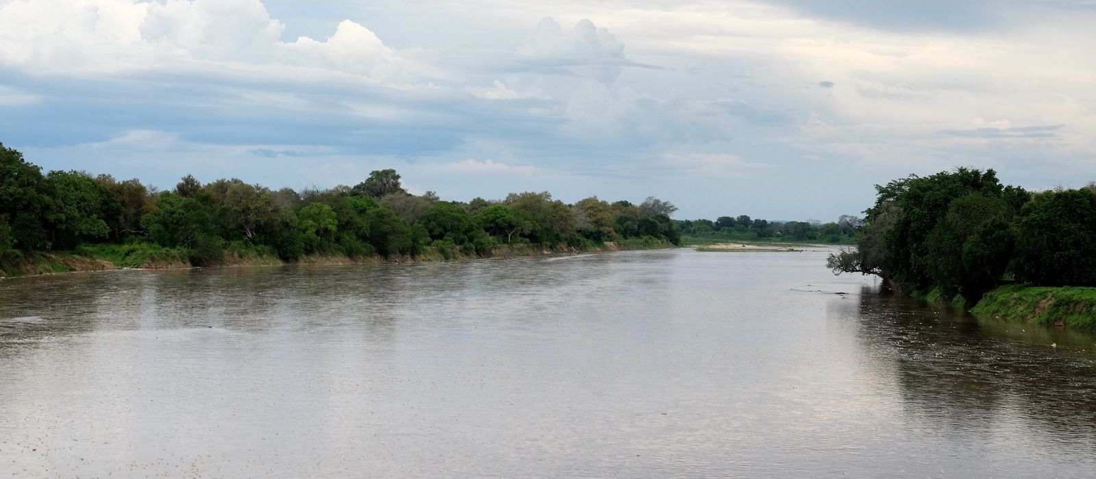
South Luangwa National Park covers 9,050 km² of the Luangwa valley in eastern Zambia, between the Muchinga Escarpment and the Luangwa River; Mfuwe is the main settlement, reached from Chipata on the D104. Lower Zambezi National Park, 4,092 km², slopes from the Zambezi Escarpment to the river, opposite Mana Pools in Zimbabwe, and is reached by road through Chirundu. The Great East Road (T4) leads to the Luangwa valley and crosses the river at Luangwa Bridge. For anyone travelling with their own vehicle it means self-drive trails in South Luangwa, with a map from the gate, and, in the Lower Zambezi, no paved roads in a park that is very underdeveloped. Here are the local guides who work in the area and the trips that cross it.
3 local guides and 2 trips in South Luangwa and the Lower Zambezi on GuideMeet.
On the map
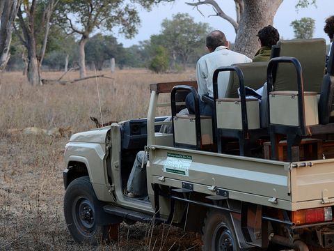 South Luangwa National Park — Park. Park of 9,050 km², a game reserve from 1938 and a national park since 1972, bounded by the Luangwa River to the east and the Muchinga Escarpment to the west. More than 60 mammal and 400 bird species are recorded. A second, less used gate, Nyamaluma, lies about 50 km south-west of the Mfuwe main gate; a pontoon there ferries vehicles across the river. Pictured: a game drive. -13.0000, 31.5000 · Google Maps
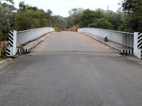 Mfuwe — Town. Town in Eastern Province and the main settlement for South Luangwa, with an airport. The park's main gate, where the entry fee is paid, is on the D791 just before the Mfuwe bridge over the Luangwa. Pictured: the bridge into the park. -13.1107, 31.7978 · Google Maps
- Nsefu Sector — Park. Sector of South Luangwa National Park north-east of Mfuwe, known for its high density of leopards, with lions, spotted hyenas and African wild dogs. -12.9512, 31.9930 · Google Maps
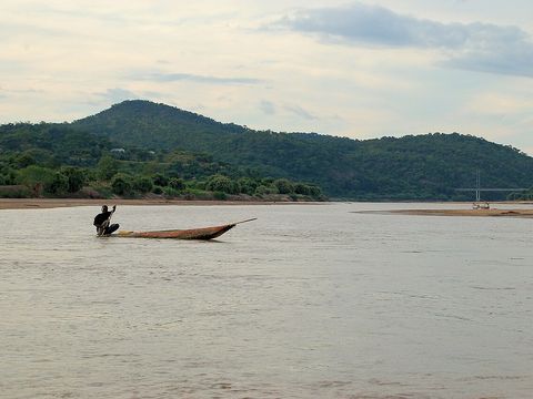 Luangwa River — River. Rises in the hills of north-east Zambia at about 1,500 m and flows through a rift valley, a south-western extension of the East African Rift, with at least 20 hot springs. Its middle course meanders, leaving oxbow lakes used by hippos, crocodiles and birds. -13.0978, 31.7884 · Google Maps
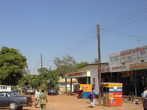 Chipata — Town. Capital of Eastern Province, at about 1,181 m on the Great East Road, some 570 km from Lusaka; the Mwami border with Malawi is about 20 km east. The D104 runs north-west from here to Mfuwe. Pictured: shops on the Great East Road. -13.6391, 32.6458 · Google Maps
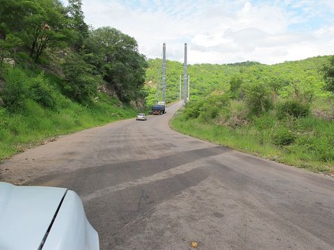 Great East Road and Luangwa Bridge — Track. The T4 runs about 595 km from Lusaka to the Mwami border with Malawi, through Nyimba, Petauke, Katete and Chipata. At Luangwa Bridge, where it enters Eastern Province, it is the only road across the lower Luangwa valley; the first bridge dates from 1932. -14.9759, 30.2121 · Google Maps
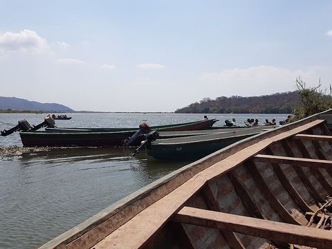 Luangwa–Zambezi confluence — River. The Luangwa joins the Zambezi at the town of Luangwa; its lower section forms the border between Zambia and Mozambique. Pictured: the meeting of the two rivers. -15.6226, 30.4010 · Google Maps
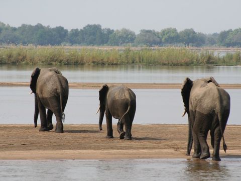 Lower Zambezi National Park — Park. Park of 4,092 km² on the north bank of the Zambezi, opposite Mana Pools in Zimbabwe, created in 1983 on what had been the president's private game reserve. It slopes from the Zambezi Escarpment to the floodplain, where most large mammals gather; it has no paved roads and no fences with the surrounding game management area. Pictured: elephants crossing the river. -15.6000, 29.5670 · Google Maps
- Chongwe River and Chongwe Gate — River. The Chongwe River forms the western boundary of Lower Zambezi National Park and drains into the Zambezi; near it stands the office of Chongwe Gate, an entrance to the park. -15.7015, 29.3342 · Google Maps
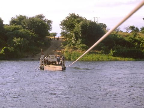 Kafue–Zambezi confluence — River. The Kafue, 1,576 km long and the longest river lying wholly within Zambia, meets the Zambezi about 20 km north of Chirundu. Pictured: the Chiawa pontoon over the Kafue in 1988. -15.9428, 28.9142 · Google Maps
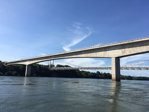 Chirundu — Border crossing. Town in Southern Province on the border with Zimbabwe, with two road bridges over the Zambezi; the T2 runs north to Kafue. Zambia's tourism site gives Chirundu as the road access to Lower Zambezi National Park. Pictured: the bridges at the border post. -16.0320, 28.8515 · Google Maps
Local guides in South Luangwa and the Lower Zambezi
 Kondo Mobile Safaris
Lusaka / Livingstone, Zambia · 4x4 car Victor Kanzala
Lusaka, Zambia · 4x4 car, 4x4 van Rob Beadel
Mfuwe, Zambia · 4x4 car
Zambia: guides by vehicle
Overland trips in South Luangwa and the Lower Zambezi
- 10 Nights Northern Circuit Heritage Waterfalls and South Luangwa — 11 days · Zambia
Trips already run here
- Zambia overland trip — 25 days · Zambia, Malawi
When to go
The wet season runs from November to March: at Chipata the monthly average goes from about 268 mm in January to 0 mm in June and July. The Luangwa generally floods from December to March, and in the wet season the road to Mfuwe gets more difficult, occasionally impossible. In the Lower Zambezi the best months for game are July to September.
Before you go
- All guides and trips in Zambia
- Do you need a local guide in Zambia?
- Is Zambia safe to travel?
- Driving and local rules in Zambia
Photo credits
Author and licence (or permission) for each photo.
- South Luangwa and Lower Zambezi: Lars Plougmann, CC BY-SA 2.0
- 1. South Luangwa National Park: Geoff Gallice from Gainesville, FL, USA, CC BY 2.0
- 2. Mfuwe: Geoff Gallice from Gainesville, FL, USA, CC BY 2.0
- 4. Luangwa River: Joachim Huber from Switzerland, CC BY-SA 2.0
- 5. Chipata: © Hans Hillewaert, CC BY-SA 3.0
- 6. Great East Road and Luangwa Bridge: Simon Berry, CC BY-SA 2.0
- 7. Luangwa–Zambezi confluence: Icem4k, CC BY-SA 4.0
- 8. Lower Zambezi National Park: Paul Kane, CC BY 2.0
- 10. Kafue–Zambezi confluence: © Hans Hillewaert, CC BY-SA 3.0
- 11. Chirundu: Bradley Pohl, CC BY-SA 4.0


