Overland region
Kgalagadi Transfrontier Park by 4x4: local guides and trips
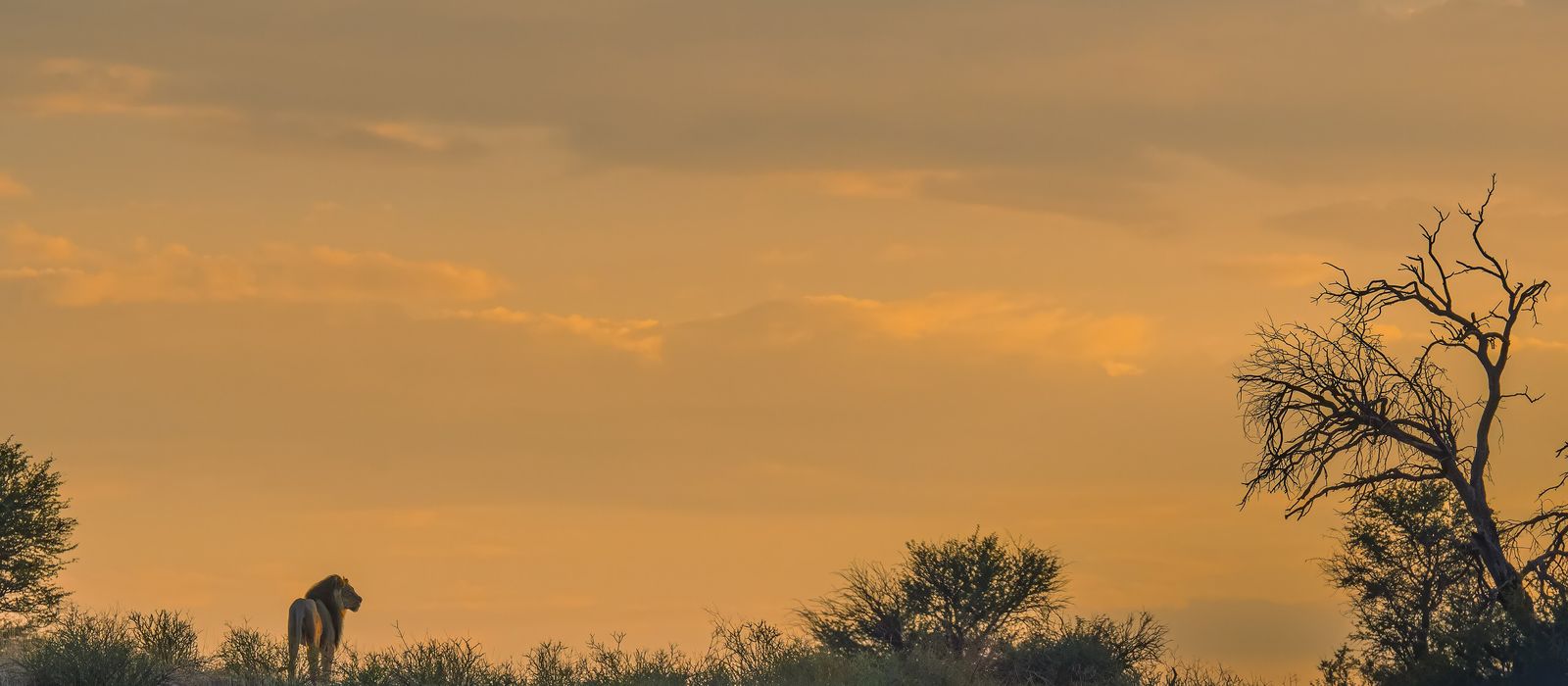
The Kgalagadi Transfrontier Park joins South Africa's Kalahari Gemsbok National Park, founded in 1931, with Botswana's Gemsbok National Park: 38,000 km², three quarters of them in Botswana, launched in 2000. The camps of Twee Rivieren, Mata-Mata and Nossob lie along the dry beds of the Auob and the Nossob; the Botswana side, with Mabuasehube and the Kaa gate, can only be reached by 4x4. For anyone travelling with their own vehicle it means gravel roads, strict gate times and, to cross into another country through the park, at least two nights inside. Upington is about 250 km from Twee Rivieren. Here are the local guides who work in the area and the trips that cross it.
1 local guide and 1 trip in the Kgalagadi on GuideMeet.
On the map
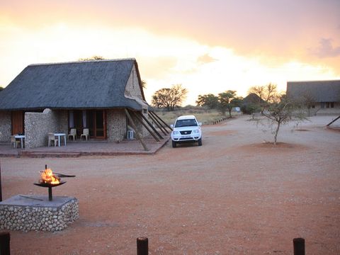 Twee Rivieren — Camp. Administrative centre of the park, near the confluence of the Auob and the Nossob, with shop, fuel and pool; public phones and mobile reception are found only here. Immigration controls are here, together with Two Rivers. -26.4723, 20.6119 · Google Maps
- Two Rivers — Border crossing. Botswana gate facing Twee Rivieren, with a campsite; Tsabong is 310 km away. The Botswana side of the park can only be reached by 4x4, and SANParks states that routes there are to be travelled by no fewer than two vehicles. -26.4731, 20.6170 · Google Maps
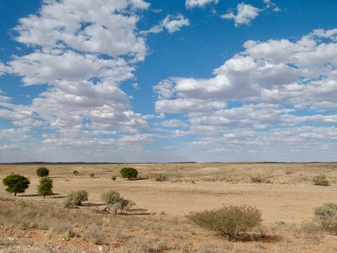 Auob River — River. Dry riverbed coming from Namibia, a tributary of the Nossob. The road from Twee Rivieren to Mata-Mata runs up its valley, about three and a half hours of driving. -26.3542, 20.5947 · Google Maps
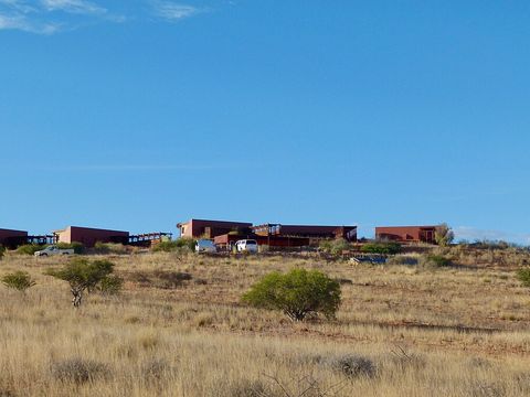 Kieliekrankie — Camp. Unfenced wilderness camp on high dunes above a small waterhole. Wilderness camps offer little more than shelter and wash water: food, drinking water and firewood come with you. -26.1836, 20.5924 · Google Maps
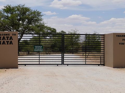 Mata-Mata — Camp. Rest camp on the Auob at the western edge of the park, next to Namibia, with shop, fuel and pool; giraffes are a common sight. Its border post to Namibia can only be used with a stay of at least two nights in the park. -25.7684, 20.0008 · Google Maps
- Bitterpan — Camp. Wilderness camp on stilts above a waterhole, on a one-way 4x4 route between Nossob and Mata-Mata. The 120 km Bitterpan 4x4 trail is reserved for guests staying overnight at the camp. -25.7139, 20.4005 · Google Maps
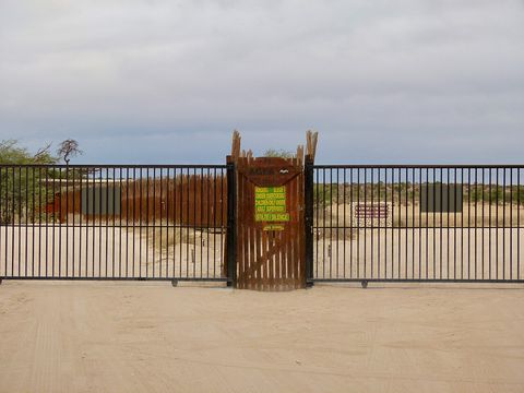 Nossob — Camp. Rest camp in the dry Nossob riverbed, about four and a half hours from Twee Rivieren, with shop, fuel, pool and a predator information centre. It is known for lion and cheetah sightings. -25.4217, 20.5964 · Google Maps
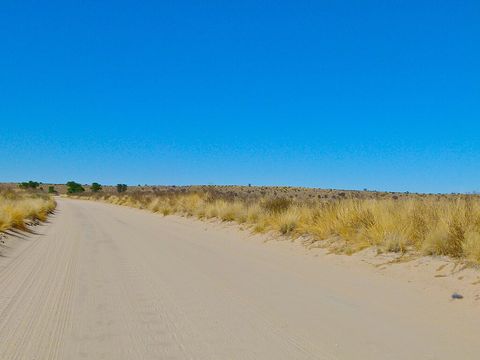 Nossob River — River. Dry riverbed 740 km long that rises in Namibia; through the park it forms the border with Botswana for more than 200 km. It is said to flow about once a century. -24.9917, 20.3178 · Google Maps
- Kaa Gate — Park. Northern entrance on the Botswana side, 797 km from Maun. From Kannaguass in the Nossob valley an 85 km route leads here, and it can only be driven by 4x4. -24.3584, 20.6255 · Google Maps
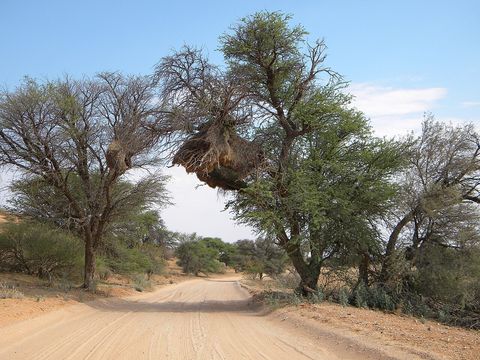 Mabuasehube — Reserve. Game reserve in the east of the Botswana side, merged into Gemsbok National Park in 1992 and into the transfrontier park in 2000; its gate is 115 km from Tsabong. A 170 km 4x4 route links it to the Nossob riverbed, and the 155 km Mabuasehube Wilderness Trail must be booked and is driven in one direction. -25.1200, 22.0000 · Google Maps
Local guides in the Kgalagadi
- Casper Swarts
Cape Town, South Africa · 4x4 car
South Africa: guides by vehicle
Botswana: guides by vehicle
Overland trips in the Kgalagadi
- Lion Tour — Tag-a-Long Convoy Tour | 12–19 December 2026 — 8 days · South Africa
When to go
At Twee Rivieren the average January maximum is 35.8 °C and the average July minimum 0.9 °C, so expect hot summer days and cold winter nights. What little rain there is falls mostly in summer; in Botswana the rains run from November to March, with a risk of flash floods that can make roads dangerous and close border crossings at short notice.
Before you go
- All guides and trips in South Africa
- Do you need a local guide in South Africa?
- Is South Africa safe to travel?
- Driving and local rules in South Africa
Photo credits
Author and licence (or permission) for each photo.
- Kgalagadi Transfrontier Park: JOBOGAERTS, CC BY 4.0
- 1. Twee Rivieren: Bougnat87, CC BY-SA 3.0
- 3. Auob River: Bernard DUPONT from FRANCE, CC BY-SA 2.0
- 4. Kieliekrankie: Bernard DUPONT from FRANCE, CC BY-SA 2.0
- 5. Mata-Mata: Bernard DUPONT from FRANCE, CC BY-SA 2.0
- 7. Nossob: Bernard DUPONT from FRANCE, CC BY-SA 2.0
- 8. Nossob River: Bernard DUPONT from FRANCE, CC BY-SA 2.0
- 10. Mabuasehube: NeilMoll, CC0


