Overland region
Adrar and Chinguetti by 4x4: local guides and trips
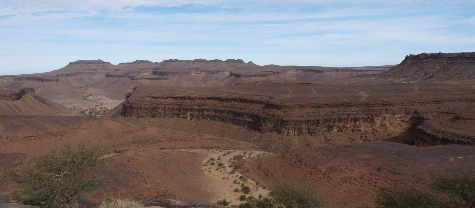
The Adrar is the plateau of northern Mauritania, with Atar as its capital and, further east, the ancient ksour of Chinguetti and Ouadane, both UNESCO World Heritage sites. For anyone travelling with their own vehicle it means the Amojjar Pass, tracks across the plateau and the dunes, the palm oasis of Terjit and the Richat Structure, a circular geological dome 40 km across. To the north, the iron-ore railway has a stop at Choum. Here are the local guides who work in the area and the trips that cross it.
6 local guides and 4 trips in Adrar and Chinguetti on GuideMeet.
On the map
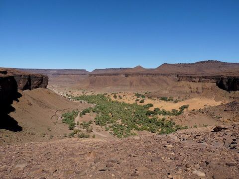 Terjit — Oasis. Palm-grove oasis in a gorge on the western edge of the Adrar plateau, fed by a stream from a spring. It lies 45 km by road south of Atar. 20.2571, -13.0942 · Google Maps
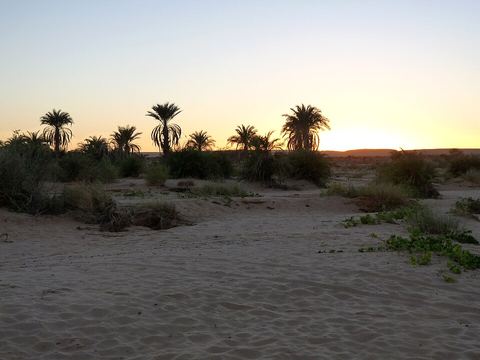 Atar — Town. Capital of the Adrar region and main town of the plateau, with a mosque dating from 1674. It is the main gateway to the old towns of Chinguetti and Ouadane. 20.5167, -13.0500 · Google Maps
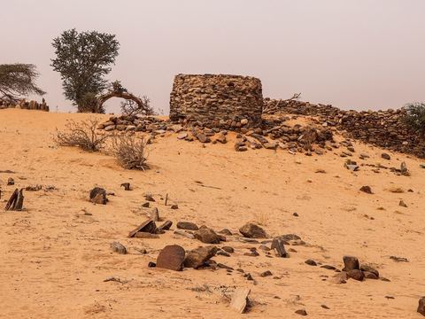 Azougui — Archaeological site. Site of the first capital of the Almoravids, in the 11th century, north-west of Atar. Parts of the citadel and the necropolis of al-Imam al-Hadrami survive. 20.5662, -13.1055 · Google Maps
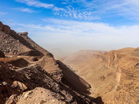 Amojjar Pass — Mountain pass. Pass through the pink-brown sandstone of the Adrar plateau, east of Atar, on the route to Chinguetti and Ouadane. The Neolithic rock paintings of Agrour Amogjar are nearby. 20.5393, -12.7921 · Google Maps
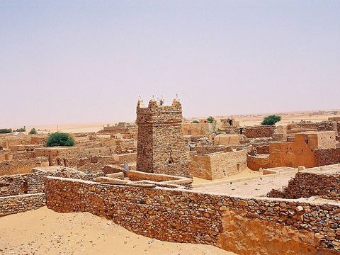 Chinguetti — Ksar. Medieval trading town designated a World Heritage Site in 1996. The old quarter has five manuscript libraries and a dry-stone mosque from the 13th–14th century; high dunes mark its western edge. 20.4574, -12.3623 · Google Maps
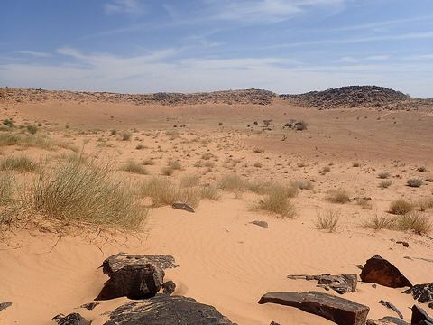 Aouelloul Crater — Crater. Impact crater 390 m wide, with a rim up to 53 m high, in the Akchar desert about 50 km south-east of Atar; it formed around 3.1 million years ago. 20.2411, -12.6750 · Google Maps
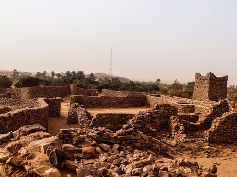 Ouadane — Ksar. Caravan town on the southern edge of the Adrar plateau, 93 km north-east of Chinguetti, once a stop for salt caravans from Idjil. The old town, in ruins but largely intact, is a World Heritage site. 20.9319, -11.6196 · Google Maps
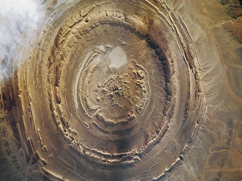 Richat Structure — Rock formation. Guelb er Richât, an eroded dome 40 km across with concentric rings, called the Eye of Africa and visible from space. Ouadane is the nearest town. 21.1147, -11.3943 · Google Maps
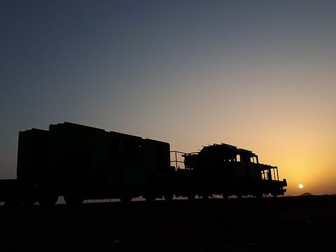 Choum — Town. Town on the iron-ore railway between Nouadhibou and Zouérat, a hub for access to the Adrar plateau. The trains that pass here can be up to 3 km long. 21.3009, -13.0673 · Google Maps
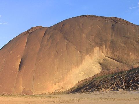 Ben Amera — Rock formation. Monolith rising 633 m above the desert floor, 4 km north of the iron-ore railway. The deep sandy track needs a 4x4 and an experienced desert driver. 21.2300, -13.6644 · Google Maps
Local guides in Adrar and Chinguetti
- Sidi Chighali — Nouakchott, Mauritania · 4x4 truck
- @mauritania_tembahjit_tours — Nouakchott, Mauritania · 4x4 truck, 4x4 car, 4x4 van, camper / van
- Mauritania Horizons — Nouakchott, Mauritania · 4x4 car
- Mohamed Salem Boulla — Nouakchott, Mauritania · 4x4 car, 4x4 truck, offroad motorcycle, adventure motorcycle
- hadrami bouh — Chinguetti, Mauritania
- Mohamed Ahmed — Nouakchott, Mauritania
Overland trips in Adrar and Chinguetti
- 12 Days Ultimate Mauritania Expedition YOUR ULTIMATE MAURITANIA TOUR EXPERIENCE — 6 days · Mauritania
- Tour in Mauritania 🇲🇷 — 4 days · Mauritania
- رحلات اكتشافية في موريتانيا — 8 days · Mauritania
- Mauritania Express — 5 days · Mauritania
When to go
The mildest months are December to February, with average temperatures in Atar around 20 to 23 °C against about 35 °C from June to August. The little rain (about 108 mm a year) falls mainly in August and September.
Before you go
- All guides and trips in Mauritania
- Do you need a local guide in Mauritania?
- Is Mauritania safe to travel?
- Driving and local rules in Mauritania
Photo credits
Photos from Wikimedia Commons, under the licences shown.
- Adrar and Chinguetti: Ji-Elle, CC BY-SA 3.0
- 1. Terjit: Ji-Elle, CC BY-SA 3.0
- 2. Atar: Ji-Elle, CC BY-SA 3.0
- 3. Azougui: Clemens Schmillen, CC BY-SA 4.0
- 4. Amojjar Pass: Clemens Schmillen, CC BY-SA 4.0
- 5. Chinguetti: François COLIN, CC BY-SA 2.5
- 6. Aouelloul Crater: Seriouslyfab, CC BY-SA 4.0
- 7. Ouadane: Clemens Schmillen, CC BY-SA 4.0
- 8. Richat Structure: NASA, Public domain
- 9. Choum: Jah Abdul, CC BY-SA 4.0
- 10. Ben Amera: Les3corbiers, CC BY-SA 3.0
.JPG)
.jpg)
.jpg)


