Overland region
Sani Pass and the Drakensberg by 4x4: local guides and trips
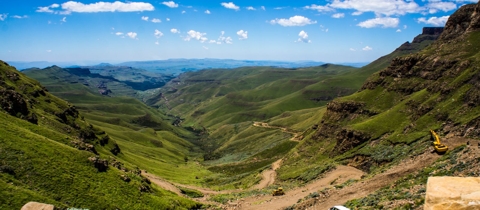
Sani Pass climbs from the farming valleys of KwaZulu-Natal to the Lesotho border at the top of the Drakensberg: a steep road with gradients of up to 1:3 that rises 1,332 m to a summit at 2,876 m. The way up starts from Underberg and Himeville, runs below the cliffs of the Maloti-Drakensberg Park, a World Heritage Site shared by South Africa and Lesotho, and beyond Sani Top continues to Mokhotlong. Since 2022 the road has been paved as far as the South African border post; the climb above it is still gravel and open only to all-terrain vehicles. Here are the local guides who work in the area and the trips that cross it.
0 local guides and 0 trips on Sani Pass and in the Drakensberg on GuideMeet.
On the map
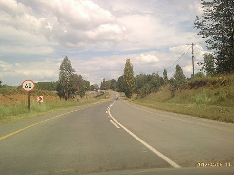 Underberg — Town. Administrative town of a dairy and cattle farming community in the Mzimkulu River valley, founded in 1917 when the railway from Pietermaritzburg arrived, at the foot of Hlogoma Peak (1,904 m). It is a trading centre for people coming down Sani Pass from Lesotho. -29.7931, 29.4947 · Google Maps
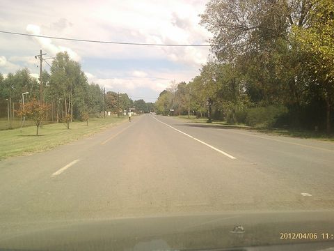 Himeville — Town. Small town in the foothills of the southern Drakensberg, about 130 km from Pietermaritzburg and the closest town to Sani Pass. It began in 1890 as a police outpost; its stone fort, built between 1896 and 1899, has been a museum since 1976. -29.7500, 29.5000 · Google Maps
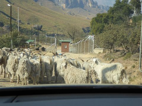 Sani Pass South African border post — Border crossing. Where the paved road ends: phase 2 of the upgrade, 11.4 km from the old Good Hope trading post to this border post, was officially opened in October 2022. Above it begins the gravel climb to the summit, open only to all-terrain vehicles. -29.6029, 29.3392 · Google Maps
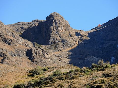 Sani Pass — Mountain pass. Above the South African border post, the climb of about 8 km is a steep gravel road with gradients of up to 1:3 that crosses the Drakensberg escarpment and reaches 2,876 m at the Lesotho border. In 1922 the Basutoland government built a 2-metre-wide track here to Mokhotlong, passable only by pack animals; in winter the road can be covered with snow and ice. -29.5881, 29.2927 · Google Maps
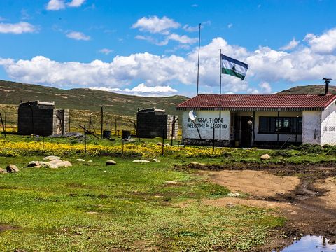 Sani Top — Border crossing. The Lesotho border post at the top of the pass, at 2,876 m, where the South Africa–Lesotho border runs along the summit. From here the road continues into Lesotho to Mokhotlong, about an hour and a half's drive away. -29.5847, 29.2854 · Google Maps
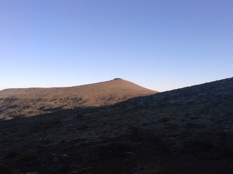 Thabana Ntlenyana — Peak. At 3,482 m the highest peak of the Drakensberg, on the Mohlesi ridge in Lesotho, north of Sani Pass. -29.4670, 29.2670 · Google Maps
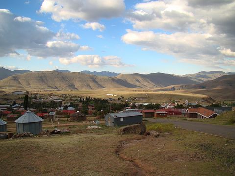 Mokhotlong — Town. Seat of Mokhotlong District and the first major town with an airport on the road from South Africa over Sani Pass, about an hour and a half's drive north of it. Its Sesotho name means 'place of the bald ibis', and the source of the Senqu, Lesotho's largest river, is nearby. -29.2886, 29.0656 · Google Maps
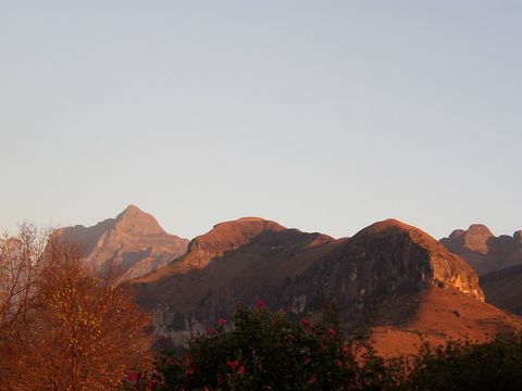 Maloti-Drakensberg Park — Park. World Heritage Site of 249,313 ha, inscribed in 2000 as uKhahlamba Drakensberg Park and extended in 2013 to Sehlabathebe National Park in Lesotho. It is listed for both nature and culture, with hundreds of rock art sites and thousands of images. -29.7752, 29.3033 · Google Maps
South Africa: guides by vehicle
Lesotho: guides by vehicle
Overland trips on Sani Pass and in the Drakensberg
No trips published here yet.
When to go
Winter brings snow: on the pass the road can be covered with snow and ice and is often closed by bad weather, and even in spring, on 21 September 2024, the border authority closed the Sani Pass port of entry because of snowfall. At Mokhotlong the mean daily minimum in July is about −1.1 °C, and in Lesotho's mountains night temperatures drop below freezing from May to September.
Before you go
- All guides and trips in South Africa
- Do you need a local guide in South Africa?
- Is South Africa safe to travel?
- Driving and local rules in South Africa
Photo credits
Author and licence (or permission) for each photo.
- Sani Pass and the Drakensberg: Vaiz Ha, CC BY 2.0
- 1. Underberg: Stevan.Karalic, CC BY 3.0
- 2. Himeville: Stevan.Karalic, CC BY 3.0
- 3. Sani Pass South African border post: Josep M. Gracia, CC BY-SA 4.0
- 4. Sani Pass: Josep M. Gracia, CC BY-SA 4.0
- 5. Sani Top: Vaiz Ha, CC BY 2.0
- 6. Thabana Ntlenyana: Matze137, CC BY-SA 4.0
- 7. Mokhotlong: Bjørn Christian Tørrissen, CC BY-SA 3.0
- 8. Maloti-Drakensberg Park: Véronique Dauge / UNESCO, CC BY-SA 3.0 IGO


