Overland region
The Omo Valley by 4x4: local guides and trips
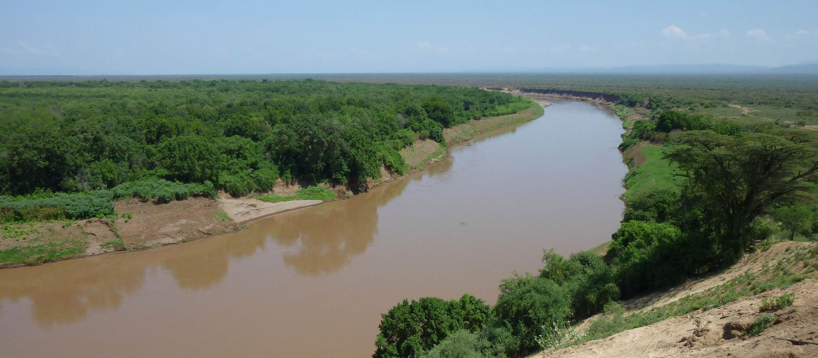
The Omo Valley is in south-west Ethiopia, along the Omo River on its way south to Lake Turkana: the lower valley, a UNESCO World Heritage Site since 1980 for its early hominid fossils, is home to peoples such as the Mursi and the Hamar, while the terraced hills of Konso, further east, were listed in 2011. For anyone travelling with their own vehicle it means the route from Arba Minch through Konso to Jinka, Turmi and Omorate, unpaved roads into Mago National Park and weekly markets. Here are the local guides who work in the area and the trips that cross it.
4 local guides and 5 trips in the Omo Valley on GuideMeet.
On the map
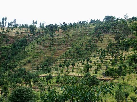 Konso (Karat) — Village. Terraced hills and stone-walled hilltop villages, a UNESCO World Heritage cultural landscape since 2011. The market near the town of Karat is held on Mondays and Thursdays. 5.3397, 37.4419 · Google Maps
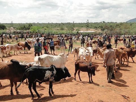 Key Afer — Town. Town on the road between Jinka and Konso, administrative centre of the Bena Tsemay woreda. Pictured: a market of the Banna people. 5.5226, 36.7348 · Google Maps
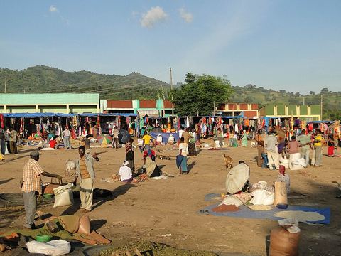 Jinka — Town. Market town at 1,490 m, capital of the Ari Zone, with the South-Omo Museum and Research Center and an airstrip. Market day is Saturday; Mago National Park is 40 km south by unpaved road. 5.7833, 36.5667 · Google Maps
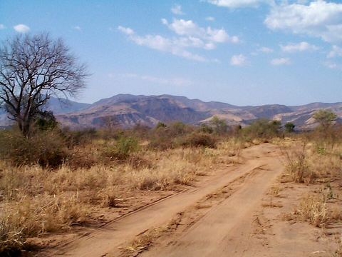 Mago National Park — Park. Park of 2,162 km², split in two by the Mago River, north of the big bend of the Omo. The park office is 26 km south-west of Jinka; all roads to and from the park are unpaved. 5.6708, 36.4187 · Google Maps
- Dimeka — Town. Town at 1,757 m, the administrative capital of the Hamer district and of the South Omo Zone, surrounded by pastoral and semi-pastoral communities. 5.1753, 36.5475 · Google Maps
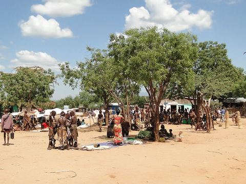 Turmi — Village. Market town at 925 m, home to many of the Hamer people, with a weekly market on Mondays. It is also known for its traditional dances and the bull-jumping ceremony. 4.9684, 36.4878 · Google Maps
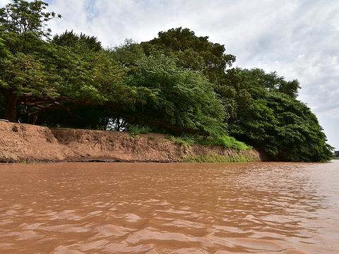 Omorate — Town. Town at 395 m on the lower Omo, near the border with Kenya, and administrative centre of Kuraz woreda. Pictured: the Omo River at Omorate. 4.8032, 36.0504 · Google Maps
Local guides in the Omo Valley
- 4x4 Ethiopia Tours — Addis Ababa, Ethiopia · 4x4 car, camper / van, adventure motorcycle, offroad motorcycle
- Emanuel Cheneke — Jinka, Ethiopia · 4x4 car
- Aone Ethiopia Tours — Addis Ababa, Ethiopia · 4x4 car, 4x4 van
- Bekele Atakilte — Gondar, Ethiopia
Overland trips in the Omo Valley
- 10-Day Omo Valley–Suri–Bale Mountains Adventure — 10 days · Ethiopia
- 4~ Days Omo Valley Tribal Experience – Discover Ethiopia Living Cultures — 4 days · Ethiopia
- Omo Valley Tours Ethiopia — 4 days · Ethiopia
- Viaggio combinato di 12 giorni in Etiopia — 12 days · Ethiopia
Trips already run here
- 5 Day Omo Valley Tribes Tour — 5 days · Ethiopia
When to go
In Ethiopia the driest months are October to January; rains typically start in the south from February. The Omo can flood after heavy rain: check conditions before using unpaved roads. Official travel advice reports attacks on groups of tourists in the Omo Valley since late 2024: read your government's current advice before planning.
Before you go
- All guides and trips in Ethiopia
- Do you need a local guide in Ethiopia?
- Is Ethiopia safe to travel?
- Driving and local rules in Ethiopia
Photo credits
Photos from Wikimedia Commons, under the licences shown.
- Omo Valley: Bernard Gagnon, CC BY-SA 3.0
- 1. Konso (Karat): JosepMGracia, CC BY-SA 4.0
- 2. Key Afer: Bernard Gagnon, CC BY-SA 3.0
- 3. Jinka: Bernard Gagnon, CC BY-SA 3.0
- 4. Mago National Park: Oxonhutch, CC BY 2.5
- 6. Turmi: Bernard Gagnon, CC BY-SA 3.0
- 7. Omorate: Prof. Mortel, CC BY 2.0


.jpg)