Overland region
The Namib and Sossusvlei by 4x4: local guides and trips
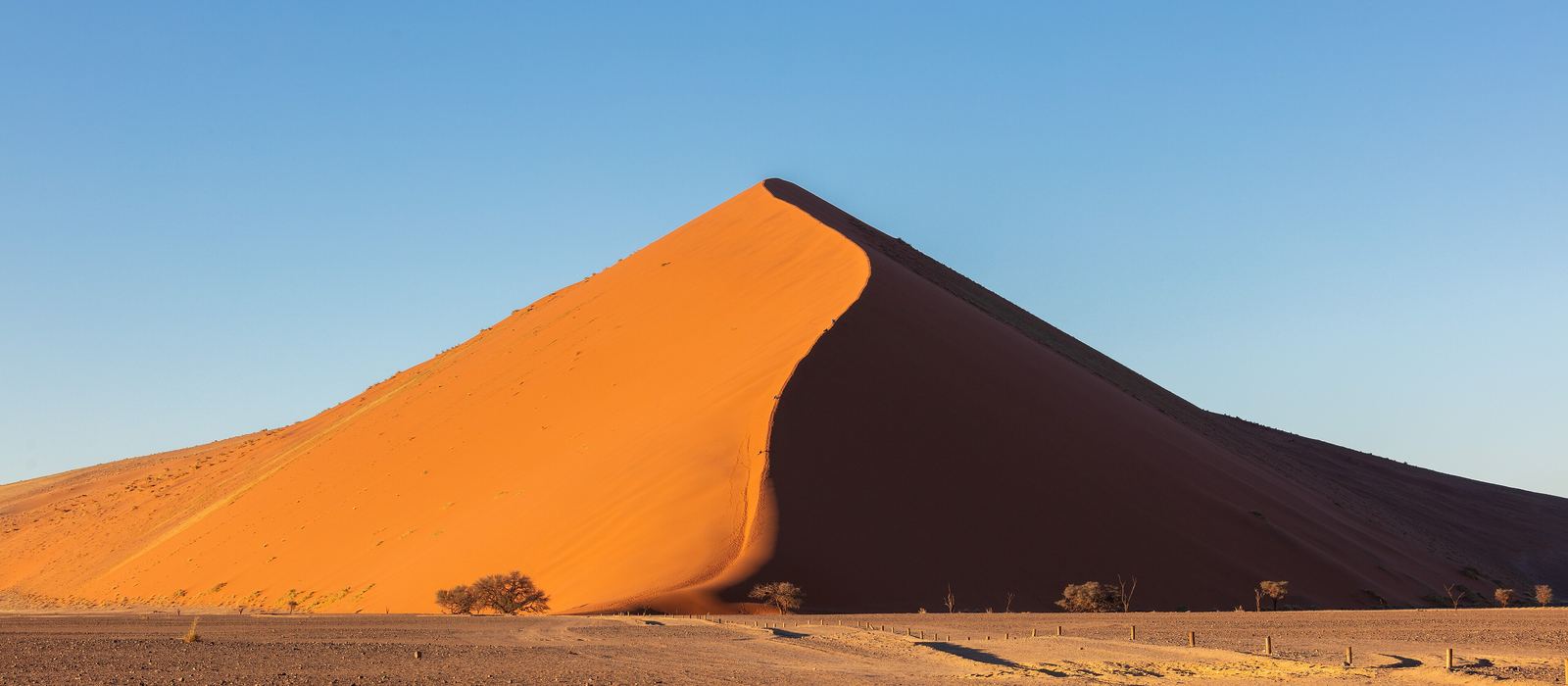
The Namib is the coastal desert that gave Namibia its name, and its best-known corner is in the Namib-Naukluft National Park, 49,768 km² between the Atlantic coast and the edge of the Great Escarpment. Inside it are Sossusvlei, a clay pan among high red dunes, and neighbouring Deadvlei, the Naukluft Mountains and the canyon of the Kuiseb. For anyone travelling with their own vehicle it means gravel roads like the C14 and the D1275, the steep Spreetshoogte Pass and a final 6 km of sand that only 4x4s can drive. Here are the local guides who work in the area and the trips that cross it.
2 local guides and 2 trips in the Namib and Sossusvlei on GuideMeet.
On the map
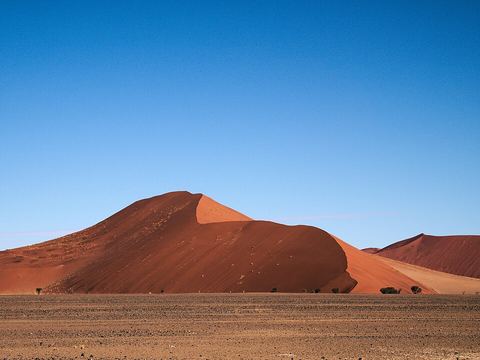 Namib-Naukluft National Park — Park. Its origins go back to a game reserve proclaimed in 1907; its present boundaries date from 1986. It also takes in the lagoon at Sandwich Harbour, on the coast. -24.5464, 15.3297 · Google Maps
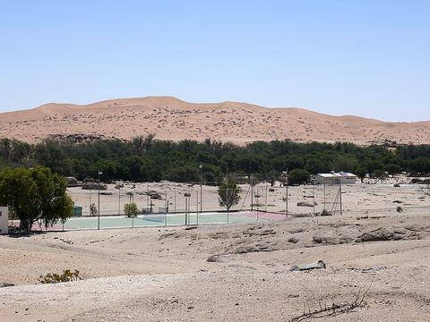 Gobabeb — Camp. Desert research and training centre founded in 1962, 120 km south-east of Walvis Bay, where the Kuiseb River, the dune sea and the gravel plains meet. -23.5500, 15.0333 · Google Maps
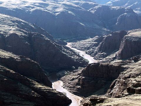 Kuiseb Canyon — Canyon. Canyon carved by the Kuiseb between the Naukluft and the Namib, with a viewpoint on the C14. In the Second World War the area sheltered Henno Martin and Hermann Korn for two years. -23.3419, 15.7451 · Google Maps
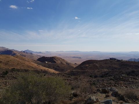 Spreetshoogte Pass — Mountain pass. Steepest pass in Namibia, with gradients of 1:4.5 to 1:6 on the unpaved D1275 from Rehoboth to Solitaire, dropping almost 1,000 m in 4 km. Trucks and caravans are not allowed. -23.6333, 16.1833 · Google Maps
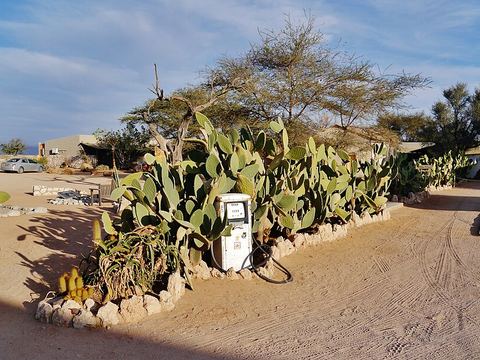 Solitaire — Village. Small settlement at the junction of the C14 and the C19, with a fuel station, a bakery and a shop: a common stopover in a sparsely populated area. -23.8833, 16.0000 · Google Maps
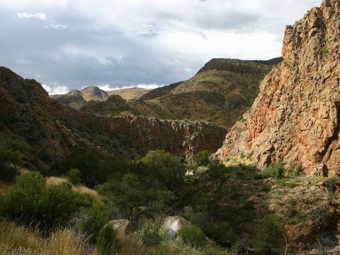 Naukluft Mountains — Peak. The southern part of the range is the eastern edge of the park: mountain zebra, leopards, small streams and waterfalls. "Naukluft" means narrow ravine. -24.1667, 16.1667 · Google Maps
- Sesriem — Village. Small settlement with a filling station and basic shops, and the Sesriem gate, the main access to Sossusvlei: a 60 km tarmac road leads on from there. -24.4871, 15.7985 · Google Maps
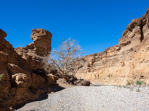 Sesriem Canyon — Canyon. Canyon cut by the Tsauchab river, about 1 km long and up to 30 m deep, only 2 m wide in places; one stretch always holds water. -24.5191, 15.7989 · Google Maps
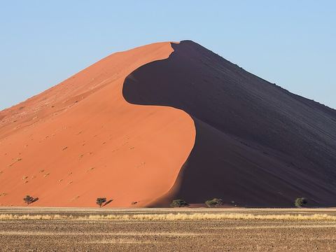 Dune 45 — Dunes. Star dune named for its position at the 45th kilometre of the road from the Sesriem gate to Sossusvlei. Its sand is 5 million years old, and visitors often climb it. -24.7167, 15.4667 · Google Maps
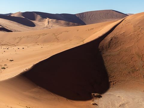 Sossusvlei — Salt pan. Salt and clay pan ringed by high red dunes, about 66 km past the Sesriem gate; the last 6 km are sand, for 4x4s only. The Tsauchab floods it only rarely. -24.7398, 15.2877 · Google Maps
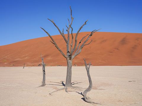 Deadvlei — Salt pan. White clay pan about 2 km from Sossusvlei, dotted with the skeletons of camel thorn trees believed to have died 600–700 years ago, when the river stopped reaching it. -24.7597, 15.2919 · Google Maps
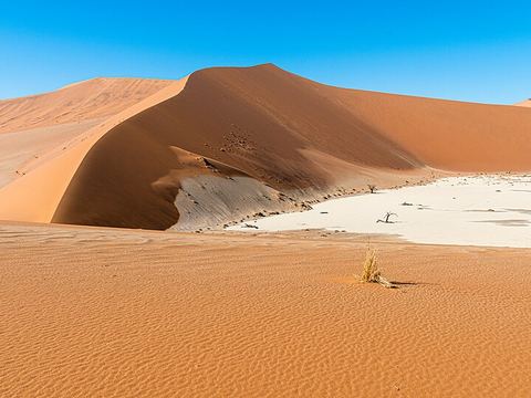 Hiddenvlei — Salt pan. Another vlei in the Sossusvlei area, 4 km from the 2x4 parking and the least visited. Its name means "hidden vlei". -24.7518, 15.3369 · Google Maps
Local guides in the Namib and Sossusvlei
- MAURIZIO TURCO — Roma, Italia · 4x4 car, 4x4 truck, 4x4 van, offroad motorcycle, adventure motorcycle, bicycle / e-bike
- Charel Schreuder — Cape Town, South Africa · 4x4 car, camper / van, 4x4 van, 4x4 truck
Overland trips in the Namib and Sossusvlei
- Namibia Fly Drive 4x4 - Mille colori dell'Africa — 15 days · Namibia
- Namibia Desert Crossing — 10 days · Namibia
When to go
Summer is hot, with temperatures often reaching 40 °C, while winter nights fall to around 10 °C and the swing between day and night is large. Rain is rare and falls mostly in summer.
Before you go
- All guides and trips in Namibia
- Do you need a local guide in Namibia?
- Is Namibia safe to travel?
- Driving and local rules in Namibia
Photo credits
Photos from Wikimedia Commons, under the licences shown.
- Namib and Sossusvlei: Diego Delso, CC BY-SA 4.0
- 1. Namib-Naukluft National Park: Daniel Kraft, CC BY-SA 3.0
- 2. Gobabeb: Ji-Elle, CC BY-SA 4.0
- 3. Kuiseb Canyon: Anagoria, CC BY 3.0
- 4. Spreetshoogte Pass: Olyon01, CC BY-SA 4.0
- 5. Solitaire: Zairon, CC BY-SA 4.0
- 6. Naukluft Mountains: Dr. Thomas Wagner, CC BY-SA 3.0
- 8. Sesriem Canyon: Diego Delso, CC BY-SA 4.0
- 9. Dune 45: Giles Laurent, CC BY-SA 4.0
- 10. Sossusvlei: Diego Delso, CC BY-SA 4.0
- 11. Deadvlei: Giles Laurent, CC BY-SA 4.0
- 12. Hiddenvlei: Christoph Strässler, CC BY-SA 2.0


.jpg)


