Overland region
Hwange and Mana Pools by 4x4: local guides and trips
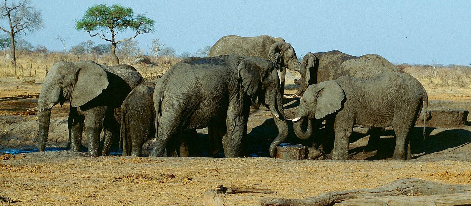
Hwange National Park, between Bulawayo and Victoria Falls, is Zimbabwe's largest at 14,650 km², with three main camps: Main Camp, Sinamatella and Robins. To the north-east, Mana Pools National Park covers 2,196 km² of the Zambezi floodplain and, with the Sapi and Chewore safari areas, is a UNESCO World Heritage Site. Between them lie Lake Kariba, the town of Kariba by the dam and Matusadona on the southern shore. For anyone travelling with their own vehicle it means self-driving on Hwange's authorised roads: the main camps can be reached in 2WD, but much of the park needs a high-clearance 4x4. Here are the local guides who work in the area and the trips that cross it.
1 local guide and 1 trip in Hwange and Mana Pools on GuideMeet.
On the map
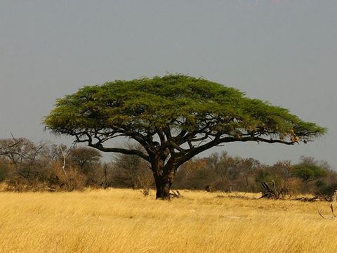 Main Camp — Camp. Park headquarters, entered through Mpofu Gate near Dete. ZimParks gives the road: turn off the Bulawayo–Victoria Falls highway at Cross Mabale, 283 km from Bulawayo or 172 km from Victoria Falls, then 23 km of tar. Pictured: a camel thorn near the camp. -18.7309, 26.9516 · Google Maps
- Nyamandlovu Pan — Lake. The largest waterhole in the park, near Main Camp, fed by a borehole. It is watched from an elevated hide, locally called a platform, the oldest in the park, with guided moonlight viewing at full moon. -18.7833, 26.8833 · Google Maps
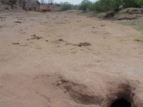 Sinamatella Camp — Camp. Rest camp and area headquarters on a ridge above a river valley, reached through Mbala Gate south of Hwange town. Self-drive game viewing leads from here to the hides at Masuma Dam and Shumba Pan. Pictured: the dry bed of the Lukosi in the Sinamatella area. -18.5858, 26.3153 · Google Maps
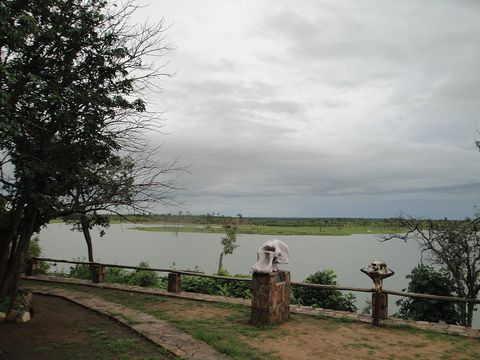 Mandavu Dam — Lake. Dam on the main road south of Sinamatella, with hippos and waterfowl, a viewpoint, a picnic site and an overnight camping site. In 1962 and 1963 black rhino moved from the rising waters of Lake Kariba in Operation Noah were released here. -18.6429, 26.2737 · Google Maps
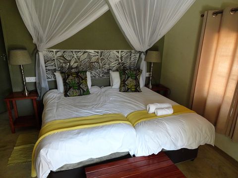 Robins Camp — Camp. Camp in the north-west of the park, entered through Nantwich Gate. ZimParks gives the road from Victoria Falls: 46 km towards Hwange, then 64 km from the Pandamatenga turn-off. The Big Toms and Little Toms hides are named after farms Harold Robins left to the park in 1939. -18.6287, 25.9859 · Google Maps
- Hwange — Town. Coal-mining town, called Wankie until 1982, about 100 km by road south-east of Victoria Falls, on the railway to Bulawayo, at 770 m. Mbala Gate, the way into Sinamatella, lies south of the town. -18.3647, 26.5000 · Google Maps
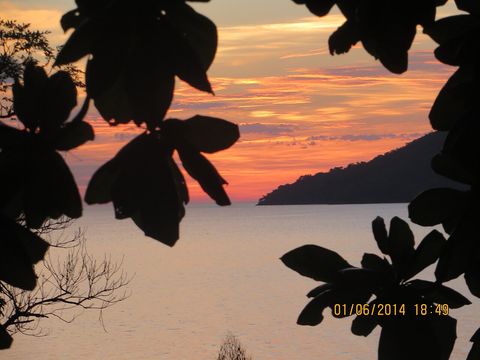 Kariba — Town. Town at the north-eastern end of Lake Kariba, near the dam and the Zambian border, built in the 1950s to house the dam workers. Roads link it to Harare and to the Zambian border; traffic for Kariba leaves the Harare–Chirundu road at Makuti. Pictured: sunset over the lake. -16.5167, 28.8000 · Google Maps
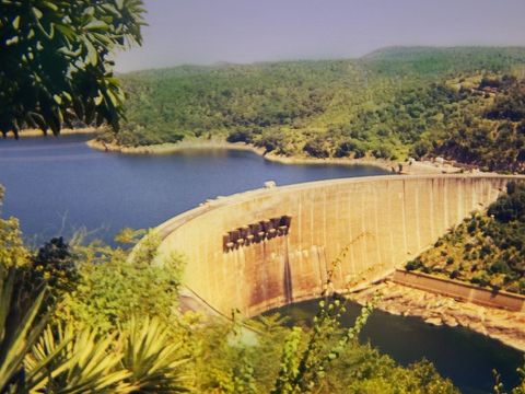 Kariba Dam — Viewpoint. Concrete arch dam, 128 m high and 579 m long, built in the Kariba Gorge between 1955 and 1959; it formed Lake Kariba, 5,580 km². The P12 from Makuti crosses the wall to Zambia's Siavonga border post, and a viewpoint with a tourist information centre looks over it. -16.5222, 28.7617 · Google Maps
- Matusadona National Park — Park. Park of 1,470 km² on the southern shore of Lake Kariba, between the Ume and Sanyati rivers, run by African Parks with ZimParks since 2019. ZimParks gives the road from Karoi via the Binga road, entering at Chifudze, 68 km from Tashinga; by water it is reached from Kariba. Its internal roads are harsh and close in the rainy season. -16.9500, 28.6000 · Google Maps
- Marongora — Camp. Marongora Wildlife Campsite, on the Harare–Chirundu highway between Makuti and Chirundu, on the way to Mana Pools. -16.2233, 29.1614 · Google Maps
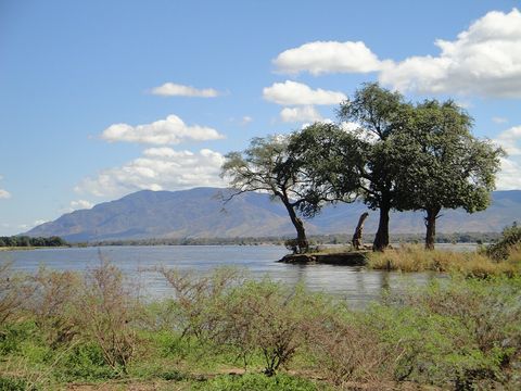 Mana Pools National Park — Park. Mana means 'four' in Shona, after its four pools: Green Pool, Chisasiko, Chine and Long Pool, the largest, over 6 km long. The Zambezi bounds it to the north and the escarpment, rising over 1,000 m from the valley floor, to the south. Pictured: an island in the Zambezi, with the Zambian escarpment behind. -15.7500, 29.3333 · Google Maps
- Chitake River — River. River of Mana Pools that rises from a perennial spring at the foot of the Zambezi Escarpment, runs for 1 km between canyon walls and joins the Rukomechi. It has four undeveloped campsites and a fossil site where many Syntarsus rhodesiensis have been found. -16.0756, 29.4128 · Google Maps
Local guides in Hwange and Mana Pools
 Ultimate Adventures
Pretoria, South Africa · 4x4 truck, 4x4 van, 4x4 car
Zimbabwe: guides by vehicle
Overland trips in Hwange and Mana Pools
No trips published here yet.
Trips already run here
- Lake Kariba and Mana Pools National Park Adventure October 2026 — 11 days · South Africa, Botswana, Zimbabwe
When to go
In Hwange the rains fall from late November to April, when some park roads turn muddy or impassable; in the dry season, August to October, animals gather at the few pumped waterholes. At Mana Pools the herds come down to the floodplain in the dry winter months. In Kariba average highs from May to August are 26.3–28.9 °C; Matusadona's roads close in the rainy season.
Before you go
- All guides and trips in Zimbabwe
- Do you need a local guide in Zimbabwe?
- Is Zimbabwe safe to travel?
- Driving and local rules in Zimbabwe
Photo credits
Author and licence (or permission) for each photo.
- Hwange and Mana Pools: Jürgen Kehrberger, CC BY-SA 3.0
- 1. Main Camp: Bart Wursten, CC BY-SA 3.0
- 3. Sinamatella Camp: Babakathy, CC0 1.0
- 4. Mandavu Dam: Babakathy, CC0 1.0
- 5. Robins Camp: Fabio Achilli from Milano, Italy, CC BY 2.0
- 7. Kariba: Suesen, CC BY-SA 3.0
- 8. Kariba Dam: Rhys Jones, CC BY 2.0
- 11. Mana Pools National Park: Babakathy, CC0 1.0


