Overland region
Chobe and Savuti by 4x4: local guides and trips
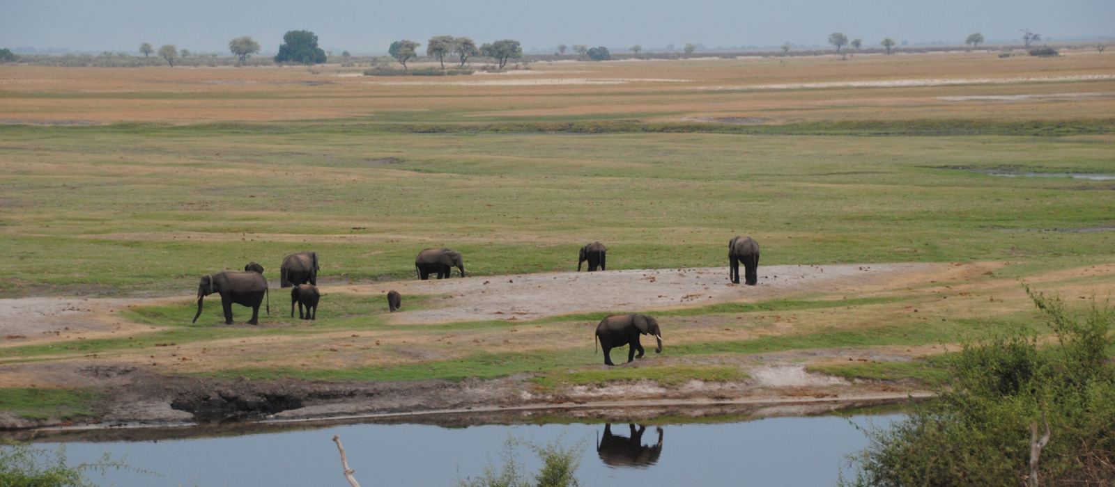
Chobe, in the far north of Botswana, has been a national park since 1968, and you need a 4x4 to drive it. Its main areas are the river frontage near Kasane, the Savuti marsh and its erratic channel, and the Linyanti marshes on the border with Namibia. In between are thick sand tracks, like the Sandridge Road from Mababe Gate, and the border crossings: Ngoma to Namibia, and Kazungula, where Botswana, Namibia, Zambia and Zimbabwe almost meet. Here are the local guides who work in the area and the trips that cross it.
9 local guides and 5 trips in Chobe and Savuti on GuideMeet.
On the map
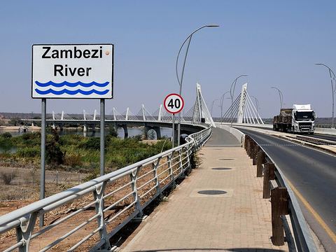 Kazungula Bridge — Border crossing. Road and rail bridge over the Zambezi linking Botswana and Zambia, opened in May 2021 to replace the ferry. A second border post nearby serves the road to Zimbabwe and Victoria Falls, 70 km east. -17.7911, 25.2625 · Google Maps
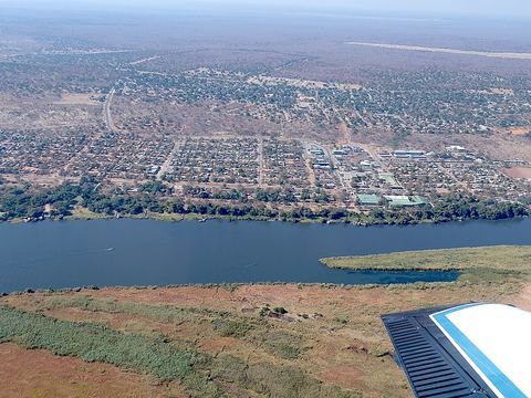 Kasane — Town. Town on the Chobe River and northern entrance to the park, with banks, a supermarket and boat trips. A tarred road runs 51 km west to the Namibian border at Ngoma. -17.8167, 25.1500 · Google Maps
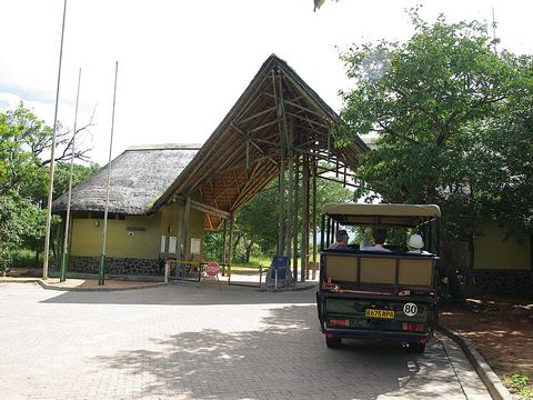 Sedudu Gate — Park. Entrance to the Chobe riverfront, the north-east corner of the park. Floodplains and river draw elephants, giraffes and buffalo in the dry season; the sand gets thick as the heat rises. -17.8433, 25.1434 · Google Maps
- Ihaha — Camp. Campsite on the Chobe riverfront, west of Kasane. The sand along this stretch gets thick in the dry months, and the roads by the river turn muddy in the wet season. -17.8382, 24.8795 · Google Maps
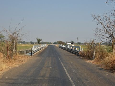 Ngoma Bridge — Border crossing. Bridge over the Chobe River and crossing into Namibia, 51 km west of Kasane on a tarred road. On the Namibian side, Katima Mulilo is about 70 km away. -17.9215, 24.7205 · Google Maps
- Chobe National Park — Park. Botswana's first national park, begun as a game reserve in 1960 and part of the Kavango–Zambezi Transfrontier Conservation Area. It is noted for its large herds of elephants; Kasane is the northern entrance. -18.6500, 24.4000 · Google Maps
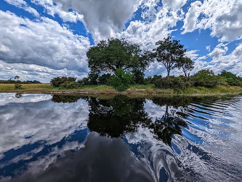 Linyanti — River. Marshes in the north-west corner of the park, along the Linyanti River and facing Namibia's Nkasa Rupara National Park across the Kwando. Lions, wild dogs, roan and sable antelope, hippos. -18.3667, 23.6667 · Google Maps
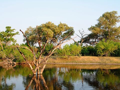 Savuti Channel — River. The channel that feeds the Savuti marsh dries up for long periods, then flows again. In January 2010 it reached the marsh for the first time since 1982; dead trees line its banks. -18.6167, 24.0667 · Google Maps
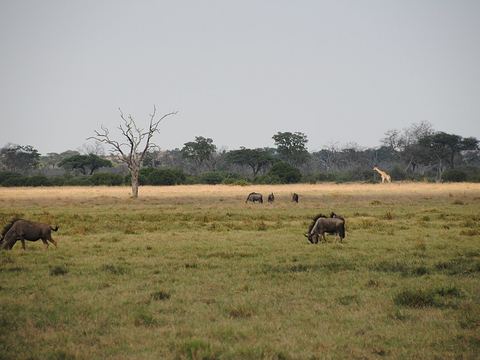 Savuti — Camp. Camp and gate on the Savuti marsh, in the western stretch of the park. Savannah known for zebras and predators; roads are thick sand, and wet black cotton soil can trap vehicles. -18.5657, 24.0638 · Google Maps
- Sandridge Road — Track. The sandridge track between Mababe Gate and Savuti: thick sand and tricky driving. After rain the marsh roads near Savuti are worse, with a real risk of getting stuck. -18.9663, 23.9992 · Google Maps
- Mababe Gate — Park. Gate on the south-west side of the park and start of the Sandridge Road north to Savuti. To the west lies the Khwai area, on the Moremi side. -19.1028, 23.9852 · Google Maps
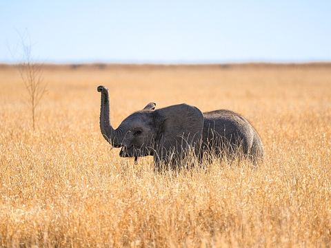 Mababe Depression — Valley. Large seasonal wetland between the Okavango Delta and Chobe, south of the Savuti Channel and north of the Khwai River. Grasslands and shallow pools draw buffalo, elephants and zebras, and the predators that follow. -18.7500, 24.2500 · Google Maps
Local guides in Chobe and Savuti
- Charel Schreuder — Cape Town, South Africa · 4x4 car, camper / van, 4x4 van, 4x4 truck
- ACTIVE 4X4 ADVENTURES — United Kingdom · 4x4 car, 4x4 truck, 4x4 van
- Ultimate Adventures — Pretoria, South Africa · 4x4 truck, 4x4 van, 4x4 car
- Haward Muhamubi — Livingstone, Zambia · 4x4 car, 4x4 van, 4x4 truck
- Fleet Foot Safaris — Knysna, South Africa · 4x4 car, 4x4 truck, 4x4 van, offroad motorcycle, adventure motorcycle
- Casper Swarts — Cape Town, South Africa · 4x4 car
- Olefile Kopang — Maun Botswana, Botswana
- Letlhogile Lets Ngoma — Maun, Botswana
- Marvelous Mobile Safari — Maun, Botswana
Overland trips in Chobe and Savuti
- Cape Town to Victoria Falls — 21-Day Self-Drive Holiday — 21 days · South Africa, Botswana, Zimbabwe
- Botswana 4X4 Wildlife Safari — 15 days · Botswana
- Zambia Migration Adventure November 2026 — 15 days · South Africa, Botswana, Zambia
- Botswana Highlights — 13 days · Botswana
- Botswana Okavango Explorer — 8 days · Botswana
When to go
From May to October, in the dry season, large herds come down to the Chobe river, though the sand on the riverfront gets thicker as the heat rises. In the rains the roads by the river turn muddy, and at Savuti the wet black cotton soil can be impassable.
Before you go
- All guides and trips in Botswana
- Do you need a local guide in Botswana?
- Is Botswana safe to travel?
- Driving and local rules in Botswana
Photo credits
Photos from Wikimedia Commons, under the licences shown.
- Chobe and Savuti: diego_cue, CC BY-SA 3.0
- 1. Kazungula Bridge: Matthias Hille (Matthias-Tf), CC BY-SA 4.0
- 2. Kasane: Christine Scholer & Hp.Baumeler, CC BY-SA 4.0
- 3. Sedudu Gate: Bgabel, CC BY-SA 3.0
- 5. Ngoma Bridge: Pavel Špindler, CC BY 3.0
- 7. Linyanti: Dicklyon, CC BY-SA 4.0
- 8. Savuti Channel: diego_cue, CC BY-SA 3.0
- 9. Savuti: diego_cue, CC BY-SA 3.0
- 12. Mababe Depression: Eric Kilby, CC BY-SA 4.0


.jpg)


