Overland region
The Aral Sea and the Ustyurt by 4x4: local guides and trips
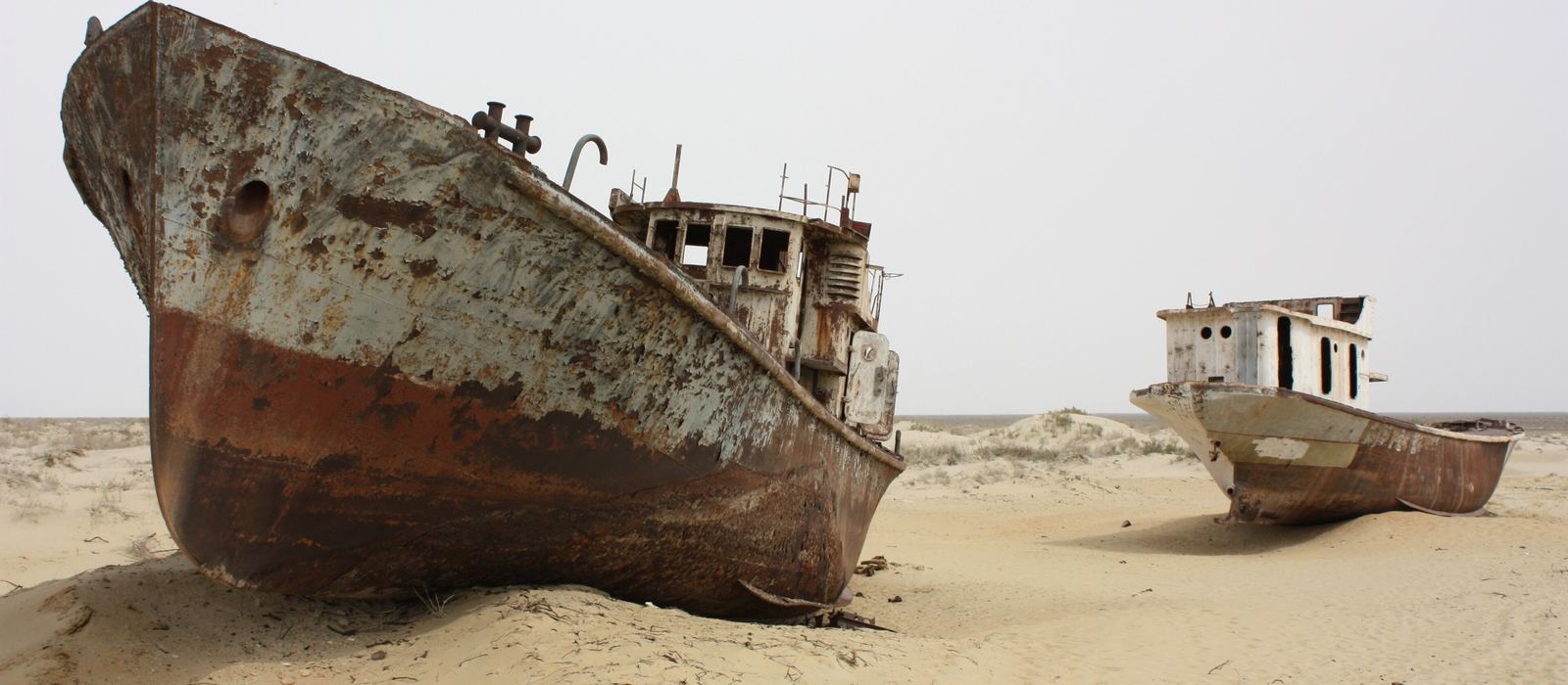
The Aral Sea was once one of the world's largest lakes; it began shrinking in the 1960s, and much of its former bed is now the Aralkum desert. From Nukus, the capital of Karakalpakstan, roads lead north to Moynaq, whose ship graveyard now stands far from the water, and to Sudochye, a bird wetland at the foot of the Ustyurt. The plateau's edge is marked by chinks, steep limestone scarps, and in Kazakhstan the Kokaral dike has let the North Aral Sea recover in part, near Aralsk. Here are the local guides who work in the area and the trips that cross it.
1 local guide and 1 trip on the Aral Sea and the Ustyurt on GuideMeet.
On the map
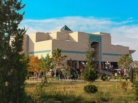 Nukus — Town. Capital of Karakalpakstan and the starting point for the Aral Sea. Its art museum holds the world's second-largest collection of Russian avant-garde works. 42.4667, 59.6000 · Google Maps
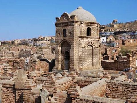 Mizdahkan — Archaeological site. Ancient city and necropolis west of Xojeli, founded in the 4th century BC; the Gyaur-Kala fortress and medieval mausoleums can still be seen. 42.4010, 59.3886 · Google Maps
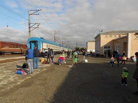 Kungrad — Town. Town in the Amu Darya delta, once a hub of caravan routes towards the Caspian Sea. From here the A380 crosses the Ustyurt towards the Kazakh border and Beyneu. 43.0497, 58.8542 · Google Maps
- Elobod — Village. Settlement on the Ustyurt plateau, in Kungrad district, 177 km from Nukus; its main employer is the Kungrad soda plant. 43.1056, 58.3778 · Google Maps
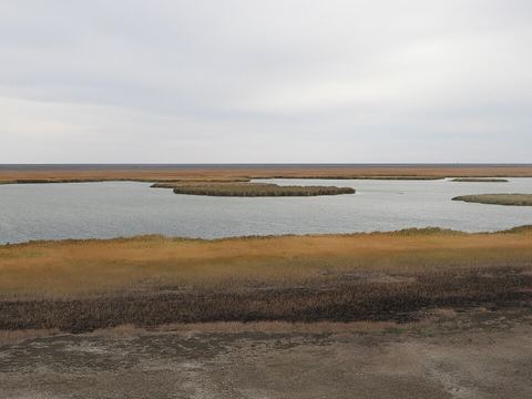 Sudochye — Lake. Lake system of the Amu Darya delta, an Important Bird Area where many species breed. The Ustyurt's eastern chink runs along its western shore. 43.5067, 58.4127 · Google Maps
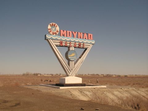 Moynaq — Town. Former fishing port of the Aral Sea, now far from the water. A small museum recalls the days of the fishing industry. 43.7667, 59.0333 · Google Maps
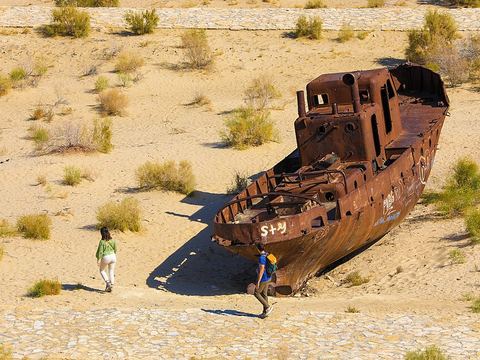 Moynaq ship graveyard — Shipwreck. Rusting hulls of the old fishing fleet at the north end of Moynaq, beside the Aral Sea memorial; the Stihia music festival has been held here since 2018. 43.7901, 59.0344 · Google Maps
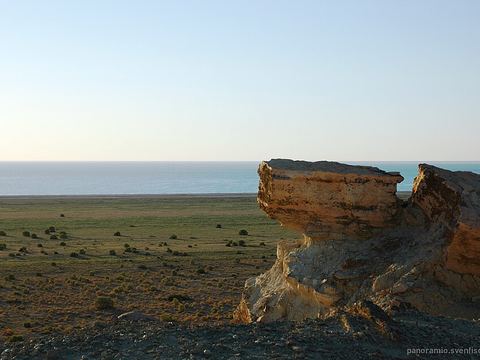 Cape Aktumsyk — Viewpoint. Cape of the former Aral Sea in Karakalpakstan, north-west of Moynaq. Pictured: sunrise over the Aral from the Ustyurt cliff. 44.5958, 58.2794 · Google Maps
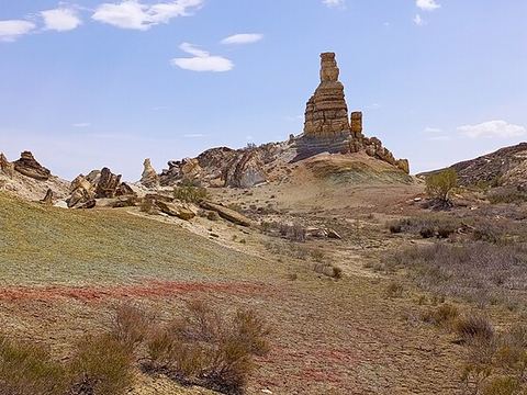 Ustyurt Plateau — Plateau. Clay desert of about 200,000 km² shared by Kazakhstan, Uzbekistan and Turkmenistan, ringed by chinks; in the north-east it drops steeply to the Aral plain. 45.3084, 58.1302 · Google Maps
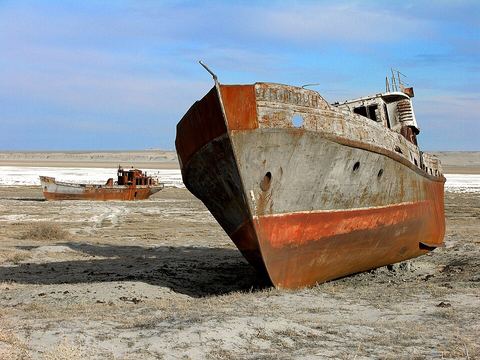 Aralsk — Town. Former fishing port of the Aral Sea, now some kilometres from the North Aral Sea. Pictured: a ship stranded in Zhalanash Bay, near the town. 46.7833, 61.6667 · Google Maps
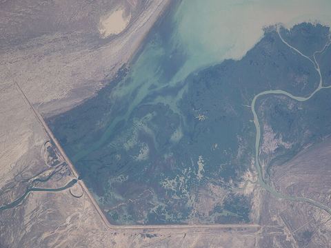 Kokaral Dike — Coast. A 12 km dam finished in 2005 across a narrow stretch of the old sea, separating the North Aral Sea from the south; water levels rose and fish returned. Pictured: seen from space. 46.0967, 60.7931 · Google Maps
Local guides on the Aral Sea and the Ustyurt
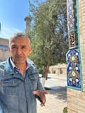 Shovkat Kamalov
Ташкент, Узбекистан · 4x4 car, camper / van
Uzbekistan: guides by vehicle
Kazakhstan: guides by vehicle
Overland trips on the Aral Sea and the Ustyurt
- The Great Silk Road Itinerary — Uzbekistan
When to go
In Nukus the average high is 29.5 °C in May, 36.4 °C in July and 28.0 °C in September, and the average January low is −7.5 °C (1991–2020). Rain is scarce, about 104 mm a year, with the most in April.
Before you go
- All guides and trips in Uzbekistan
- Do you need a local guide in Uzbekistan?
- Is Uzbekistan safe to travel?
- Driving and local rules in Uzbekistan
Photo credits
Author and licence (or permission) for each photo.
- Aral Sea and Ustyurt: Arian Zwegers, CC BY 2.0
- 1. Nukus: Ayzadarich, CC0
- 2. Mizdahkan: damda.uz, CC BY-SA 4.0
- 3. Kungrad: ojkumena, CC BY-SA 3.0
- 5. Sudochye: Raf24~commonswiki, CC BY 4.0
- 6. Moynaq: Martijn Munneke from Netherlands, CC BY 2.0
- 7. Moynaq ship graveyard: MarjonaKhidirova, CC BY-SA 4.0
- 8. Cape Aktumsyk: svenfischer.fr, CC BY-SA 3.0
- 9. Ustyurt Plateau: Xurmet Jalimbetov, CC BY-SA 4.0
- 10. Aralsk: Zhanat Kulenov, CC BY-SA 3.0 igo
- 11. Kokaral Dike: NASA, Johnson Space Center, Public domain


