Overland region
The Rub' al Khali (Empty Quarter) by 4x4: local guides and trips
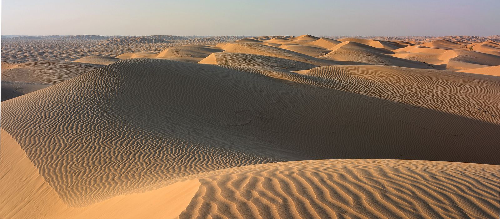
The Rub' al Khali, the Empty Quarter, is a desert of about 650,000 km² that covers most of the southern third of the Arabian Peninsula, across Saudi Arabia, Oman, the United Arab Emirates and Yemen. For anyone travelling with their own vehicle it means the Omani edge, with Thumrait, the archaeological site of Shisr, the soft dunes of Muqshin and the quicksand of Umm al Samim, and the Emirati edge, at Liwa Oasis and the 300 m Moreeb Dune. Here are the local guides who work in the area and the trips that cross it.
1 local guide and 1 trip in the Rub' al Khali on GuideMeet.
On the map
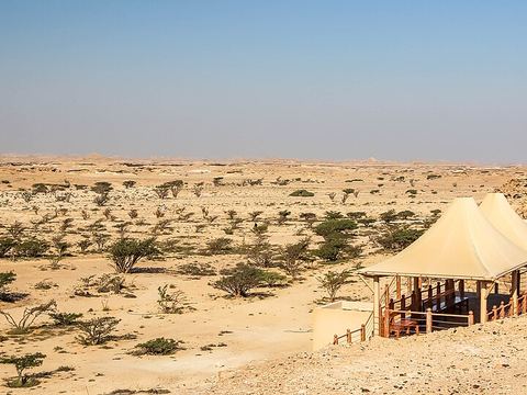 Wadi Dawkah — Forest. Park of frankincense trees beside the head of the wadi, part of the UNESCO World Heritage Land of Frankincense since 2000. 17.3500, 54.0667 · Google Maps
- Thumrait — Town. Small town and wilayat of Dhofar, with 10,552 inhabitants at the 2020 census. In ancient times it was an important point on the caravan routes of the Arabian Peninsula. 17.6669, 54.0328 · Google Maps
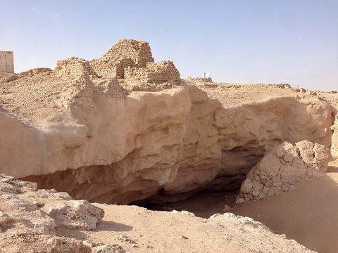 Shisr — Archaeological site. Archaeological site beside the village of Ash Shisr, an inland trading post and part of the Land of Frankincense since 2000. Some link it to the legendary lost city of Ubar. 18.2551, 53.6489 · Google Maps
- Qatbit — Camp. Stop in the Muqshin district with a fuel station and the Qatbit Rest House, a gathering and resting point for travellers and camping enthusiasts. 19.1756, 54.5025 · Google Maps
- Muqshin — Village. Desert wilayat of Dhofar, among the soft dunes of the Empty Quarter, next to the Saudi border and linked to the main asphalt road. Its valleys have ghaf trees and sulphurous artesian wells. 19.2969, 54.7750 · Google Maps
- Umm al Samim — Salt pan. Quicksand area on the eastern edge of the Empty Quarter, mostly in Oman: a salt marsh with a solid-looking crust, treacherous once broken. Known locally as the "Mother of Poisons". 21.6333, 55.9000 · Google Maps
- Ramlat Khaliya — Border crossing. Border checkpoint between Oman and Saudi Arabia, announced by the two countries in 2006 and set in the Rub' al Khali. Check its current status before planning a crossing. 22.2803, 55.4892 · Google Maps
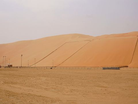 Moreeb Dune — Dunes. Dune 300 m high with a slipface of about 50 degrees, the tallest in the UAE, 22 km south of Muzayri' in the Liwa Oasis. It hosts the Liwa Moreeb Dune Festival. 22.9797, 53.7862 · Google Maps
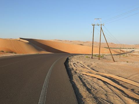 Liwa Oasis — Oasis. Large oasis on the northern edge of the Rub' al Khali, 150 km south-west of Abu Dhabi, about 100 km from east to west and made up of some 50 villages. 23.1323, 53.7966 · Google Maps
Local guides in the Rub' al Khali
- MAURIZIO TURCO — Roma, Italia · 4x4 car, 4x4 truck, 4x4 van, offroad motorcycle, adventure motorcycle, bicycle / e-bike
Overland trips in the Rub' al Khali
- OMAN SUD Fly Drive 4x4 - Deserto del Rub al Khali — 9 days · Oman
When to go
Winter is the comfortable season, with mild temperatures in December and January. Summer runs from March to September, and up to 49.8 °C has been recorded in the Omani interior; summer winds can raise sandstorms.
Before you go
- All guides and trips in Oman
- Do you need a local guide in Oman?
- Is Oman safe to travel?
- Driving and local rules in Oman
Photo credits
Photos from Wikimedia Commons, under the licences shown.
- Rub' al Khali: Krzysztof Ziarnek, Kenraiz, CC BY-SA 4.0
- 1. Wadi Dawkah: Dr. Thomas Liptak, CC BY-SA 4.0
- 3. Shisr: Armatus1995, CC BY-SA 4.0
- 8. Moreeb Dune: Nepenthes, CC BY-SA 3.0
- 9. Liwa Oasis: JSPhotography2016, CC BY-SA 4.0
_kz04.jpg)


