Overland region
The Masai Mara by 4x4: local guides and trips
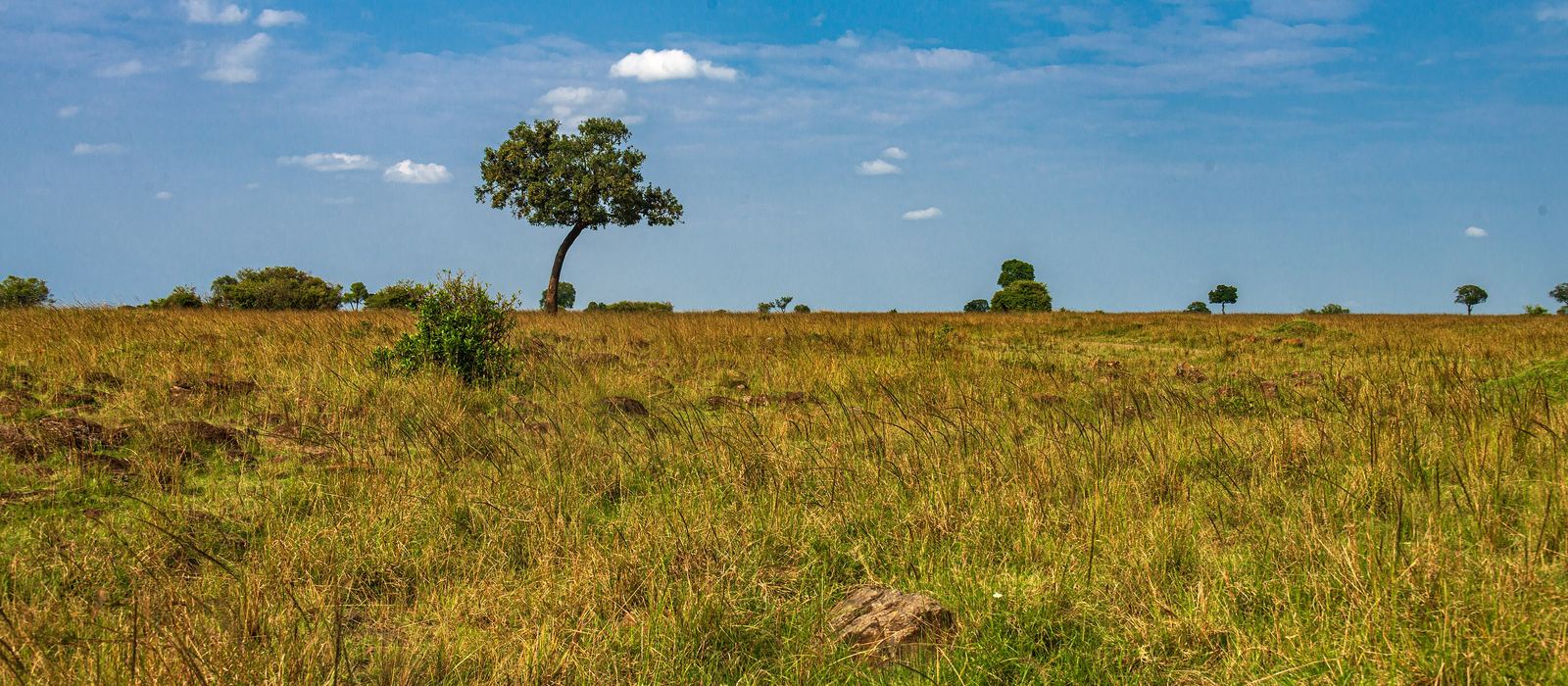
The Masai Mara is a national reserve in Narok County, in south-west Kenya, contiguous with Tanzania's Serengeti National Park; it includes the Mara Triangle in the south-west, and around it lie Maasai group ranches and community conservancies. It is where the great wildebeest migration arrives, crossing the Mara River from Tanzania. For anyone travelling with their own vehicle it means reaching the reserve from Nairobi through Narok, entering by gates such as Sekenani, Talek, Sand River and Oloololo, and driving open savanna cut by the Mara River and its tributaries. Here are the local guides who work in the area and the trips that cross it.
7 local guides and 7 trips in the Masai Mara on GuideMeet.
On the map
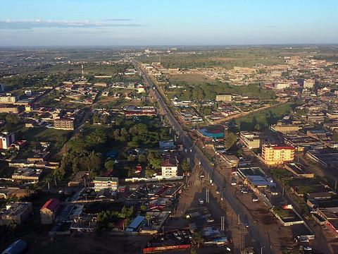 Narok — Town. County capital and commercial centre at 1,827 m, the last major town on the road from Nairobi to the Masai Mara. Pictured: Narok from above. -1.0833, 35.8667 · Google Maps
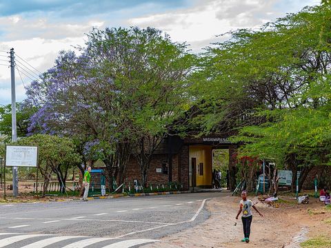 Sekenani Gate — Park. Gate on the eastern side of the reserve, the part most visited because it is the closest to Nairobi. -1.5210, 35.3374 · Google Maps
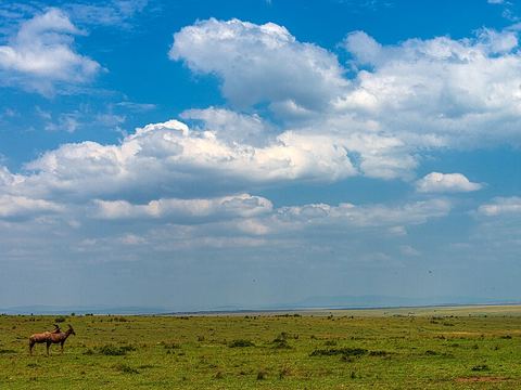 Maasai Mara National Reserve — Reserve. Covers 1,510 km² at 1,500–2,180 m, mostly open grassland with seasonal streams. "Mara" means "spotted" in Maa, after the bushy trees dotting the plain. -1.4900, 35.1400 · Google Maps
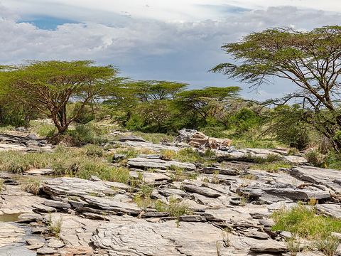 Talek Gate — Park. Gate near the Talek River, one of the rivers that drain the reserve along with the Mara and the Sand. Pictured: rocks on the Talek. -1.4432, 35.2073 · Google Maps
- Naboisho Conservancy — Reserve. Conservancy on the north-eastern side of the reserve, part of the Greater Mara ecosystem together with the reserve, the Maasai group ranches and the other conservancies. -1.3841, 35.3112 · Google Maps
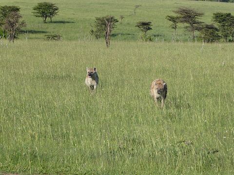 Olare Motorogi Conservancy — Reserve. A 140 km² community conservancy founded in 2006 on land leased from Maasai landowners, bordering the reserve. Pictured: spotted hyenas. -1.3820, 35.1373 · Google Maps
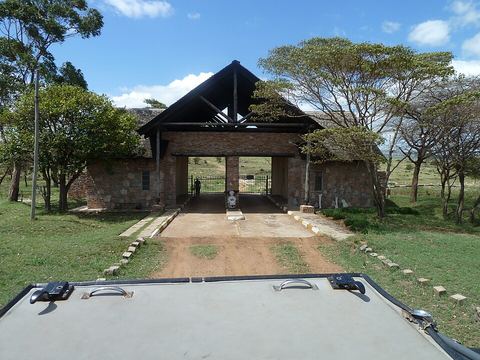 Sand River Gate — Park. Gate in the south of the reserve, on the Tanzanian border, by the Sand River, which joins the Mara where it enters the Serengeti. Pictured: the gate. -1.6530, 35.2161 · Google Maps
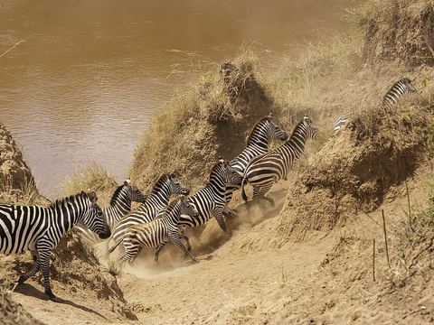 Mara River — River. The river the herds cross when they enter from the Serengeti, famous for its crossings; it divides the Mara Triangle from the rest of the reserve. Pictured: zebras. -1.5457, 35.0181 · Google Maps
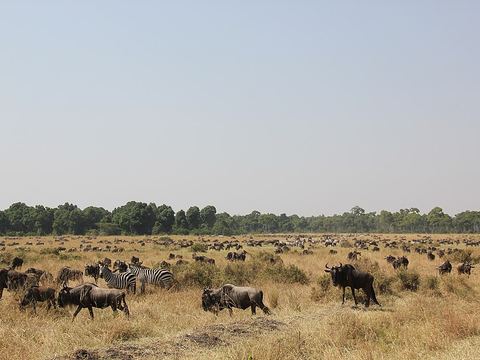 Mara Triangle — Reserve. The south-western third of the reserve (510 km²), between the Mara River and the Oloololo Escarpment, run by the Mara Conservancy and less crowded than the east. -1.4066, 34.9066 · Google Maps
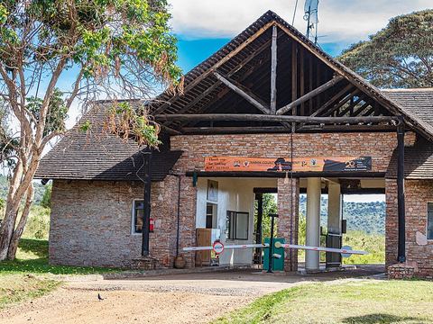 Oloololo Gate — Park. Gate to the Mara Triangle, near the Oloololo Escarpment, 400 m high, which closes the reserve to the north-west. -1.2584, 34.9976 · Google Maps
Local guides in the Masai Mara
- Nancy Yogo — Nairobi, Kenya · 4x4 truck
- Emmanuel Ndeleva — Nairobi, Kenya · 4x4 car
- Felix Kiwia — Safari Masters, Tanzania · 4x4 truck, camper / van, 4x4 car
- BIENVENIDO SAFARIS — Nairobi, Kenya · 4x4 van
- Robert Murigi — Nairobi, Kenya · 4x4 car, 4x4 truck, 4x4 van
- George Muriungi — Nairobi, Kenya
- George Gichimu — Nairobi, Kenya
Overland trips in the Masai Mara
- 7-Day Masai Mara Nakuru Hell's Gate Naivasha Amboseli4X4 $985 pp (USD) — 7 days · Kenya
- 7-Day Masai Mara, Serengeti, Ngorongoro, Kenya Tanzania $1340 — 7 days · Tanzania, Kenya
- 3 Days Nairobi Amboseli Tsavo East Mombasa/Diani Private Safari $870 — 3 days · Kenya
- 5 Days Sweetwaters, Lake Nakuru & Masai Mara Safari — 5 days · Kenya
- 14 Days Overland Kenya and Tanzania safari — 14 days · Kenya
- 4 days safari. Nairobi - Maasai Mara – Nakuru - Nairobi. — 4 days · Kenya
- 11 DAYS MASAI MARA WILDBEEST MIGRATION — 12 days · Kenya
When to go
The migration usually reaches the Mara between July and October, and the herds head back south around October. The long rains fall in April and May and the short rains in November and December.
Before you go
- All guides and trips in Kenya
- Do you need a local guide in Kenya?
- Is Kenya safe to travel?
- Driving and local rules in Kenya
Photo credits
Photos from Wikimedia Commons, under the licences shown.
- Masai Mara: Daniel Case, CC BY-SA 4.0
- 1. Narok: Tish Madesh, CC0
- 2. Sekenani Gate: Ninara, CC BY 2.0
- 3. Maasai Mara National Reserve: Daniel Case, CC BY-SA 4.0
- 4. Talek Gate: Ninara, CC BY 2.0
- 6. Olare Motorogi Conservancy: Regina Hart from Industry, United States, CC BY-SA 2.0
- 7. Sand River Gate: Toppazz, CC BY 3.0
- 8. Mara River: Thomas Fuhrmann, CC BY-SA 4.0
- 9. Mara Triangle: Laika ac from USA, CC BY-SA 2.0
- 10. Oloololo Gate: Ninara, CC BY 2.0


.jpg)


.jpg)
