Overland region
Mangystau by 4x4: local guides and trips
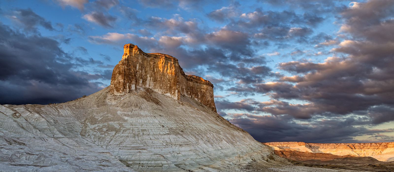
Mangystau is the south-west of Kazakhstan, on the eastern shore of the Caspian Sea, around the Mangyshlak Peninsula and the western edge of the Ustyurt plateau. Aktau, the port city, is the way in; from there tracks lead to Mount Sherkala and the Valley of Balls at Torysh, to the Karagiye depression, about 130 m below sea level, and east towards Bozjyra, a gorge cut into the limestone of the Ustyurt. On the way are the rock mosques of Beket-Ata, Shopan-Ata and Shakpak-Ata, inscribed by UNESCO in 2026. Here are the local guides who work in the area and the trips that cross it.
2 local guides and 1 trip in Mangystau on GuideMeet.
On the map
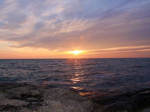 Aktau — Town. Major port city on the eastern shore of the Caspian Sea, on the Mangyshlak Peninsula, and the gateway to the region. 43.6525, 51.1575 · Google Maps
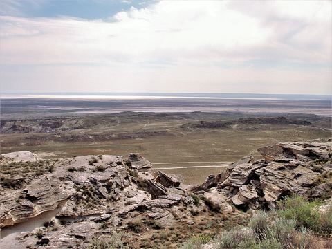 Karagiye — Valley. Karst trench 40 km long near the Caspian; its lowest point lies about 130 m below sea level, the lowest in Central Asia. 43.4000, 51.7900 · Google Maps
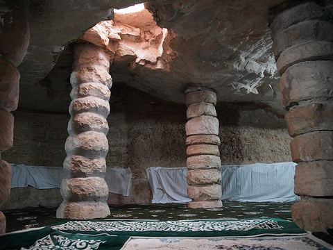 Karaman-Ata — Archaeological site. One of the earliest burial and cult complexes on the Mangyshlak Peninsula, named after a legendary Kazakh Sufi; a UNESCO site since 2026. 43.8998, 51.8720 · Google Maps
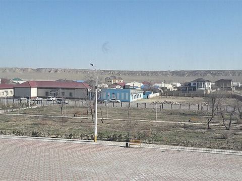 Shetpe — Town. Administrative centre of Mangystau District, close to Mount Sherkala and the Torysh valley. 44.1667, 52.1167 · Google Maps
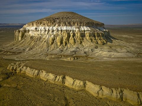 Sherkala — Rock formation. Mountain with steep south and east sides, described as looking like a yurt or a sphinx; remains of a medieval caravanserai and fort lie on top and at its foot. 44.2564, 52.0061 · Google Maps
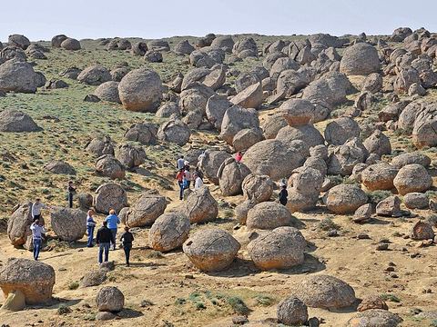 Torysh — Valley. The Valley of Balls: spherical rocks formed naturally in the sedimentary rock by concretion, close to Shetpe and Mount Sherkala. 44.3614, 51.5611 · Google Maps
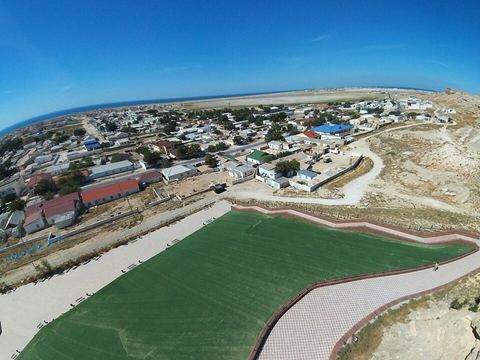 Fort-Shevchenko — Town. Military-base town on the Caspian shore and centre of Tupkaragan District; fishing and stone extraction are its main industries. 44.5167, 50.2667 · Google Maps
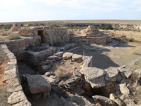 Sultan-Epe — Archaeological site. Necropolis and underground mosque used from the 10th to the 19th century, 57 km north-east of Fort-Shevchenko; UNESCO-listed in 2026. 44.4717, 51.0098 · Google Maps
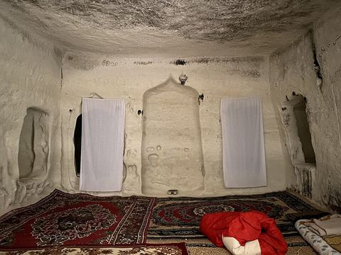 Shakpak-Ata — Archaeological site. Underground mosque in Tupkaragan District, one of the five sites of the Rock Mosques of Mangystau, UNESCO-listed in 2026. 44.4334, 51.1388 · Google Maps
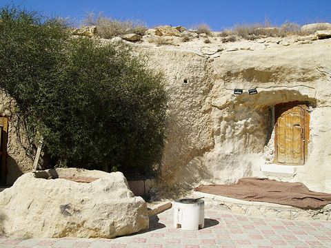 Shopan-Ata — Archaeological site. Necropolis and underground mosque used from the 10th to the 19th century, 21 km north of the village of Senek; UNESCO-listed in 2026. 43.5480, 53.3898 · Google Maps
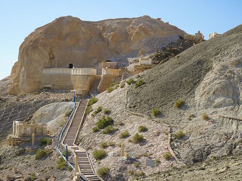 Beket-Ata — Rock formation. Mosque cut into the rock in the 17th century, with five rounded chambers, at Oglandy near the western chink of the Ustyurt; UNESCO-listed in 2026. 43.5955, 54.0699 · Google Maps
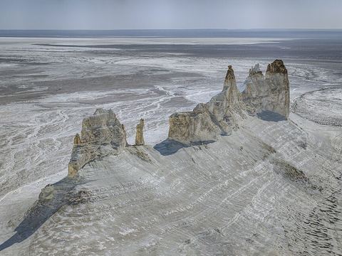 Bozjyra — Canyon. Gorge on the western Ustyurt, about 300 km from Aktau: limestone desert with rock walls up to 250 m high, where fossils of the ancient Tethys Ocean turn up. 43.4083, 54.1039 · Google Maps
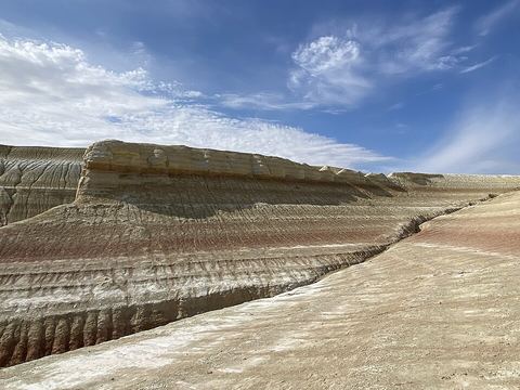 Ustyurt Nature Reserve — Reserve. Reserve of 223,000 hectares on the Ustyurt, created in 1984 near the borders with Uzbekistan and Turkmenistan; home to the Ustyurt mouflon and the saiga. 43.2289, 54.6539 · Google Maps
Local guides in Mangystau
- MAURIZIO TURCO — Roma, Italia · 4x4 car, 4x4 truck, 4x4 van, offroad motorcycle, adventure motorcycle, bicycle / e-bike
- Denis Batshev — Актау, Казахстан
Overland trips in Mangystau
- 👉 Kazakistan - Mangystau il Deserto Fossile — 8 days · Kazakhstan
When to go
On the Ustyurt summers are above 40 °C and winters can drop below −40 °C, with only about 120 mm of rain a year. Spring and autumn are the milder seasons for the tracks to Bozjyra and the plateau.
Before you go
- All guides and trips in Kazakhstan
- Do you need a local guide in Kazakhstan?
- Is Kazakhstan safe to travel?
- Driving and local rules in Kazakhstan
Photo credits
Photos from Wikimedia Commons, under the licences shown.
- Mangystau: Astrobond, CC BY-SA 4.0
- 1. Aktau: Rassim, CC BY-SA 4.0
- 2. Karagiye: Thermokarst, CC BY-SA 3.0
- 3. Karaman-Ata: Yakov Fedorov, CC BY-SA 4.0
- 4. Shetpe: Мағыпар, CC BY-SA 4.0
- 5. Sherkala: Ashina, CC BY-SA 3.0
- 6. Torysh: Alexandr Babkin, CC BY-SA 4.0
- 7. Fort-Shevchenko: w0zny, CC BY-SA 3.0
- 8. Sultan-Epe: Mheidegger, CC BY 4.0
- 9. Shakpak-Ata: Ananari, CC BY-SA 4.0
- 10. Shopan-Ata: Yakov Fedorov, CC BY-SA 4.0
- 11. Beket-Ata: Yakov Fedorov, CC BY-SA 4.0
- 12. Bozjyra: Zoin, CC BY-SA 4.0
- 13. Ustyurt Nature Reserve: Dianakz, CC BY-SA 4.0


.jpg)

