Overland region
Ladakh by 4x4 and motorbike: local guides and trips
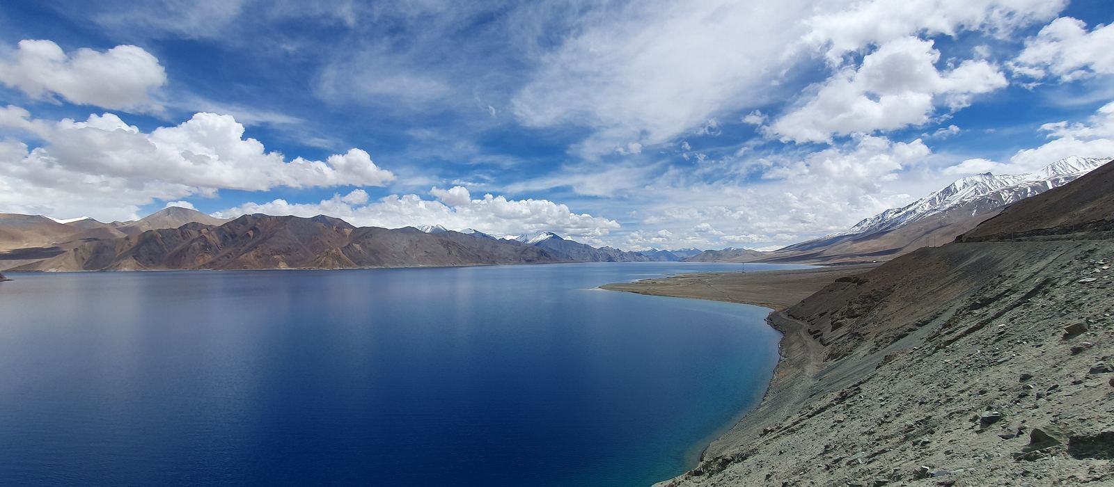
Ladakh is a union territory in the far north of India, a high cold desert around Leh and the Indus valley. For anyone travelling with their own vehicle it means the Leh–Manali highway over Baralacha La and Tanglang La, the Khardung La road into the Nubra valley, the road to Pangong Tso over Chang La, the Changthang plateau around Tso Moriri and the Pensi La road to Zanskar. Nubra and Pangong Tso need permits, such as the Inner Line Permit: check the current rules before you go. Here are the local guides who work in the area and the trips that cross it.
5 local guides and 4 trips in Ladakh on GuideMeet.
On the map
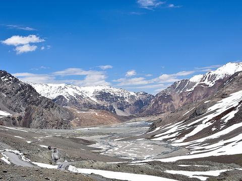 Baralacha La — Mountain pass. Pass at 4,889 m linking Lahaul, in Himachal Pradesh, with Ladakh on the Leh–Manali highway; the Chandra and Bhaga rivers both rise near it. 32.7586, 77.4203 · Google Maps
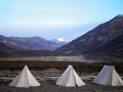 Sarchu — Camp. Tented halt at 4,201 m on the boundary between Himachal Pradesh and Ladakh, between Baralacha La and Lachulung La; the camp closes in winter when snow blocks the passes. 32.8900, 77.5300 · Google Maps
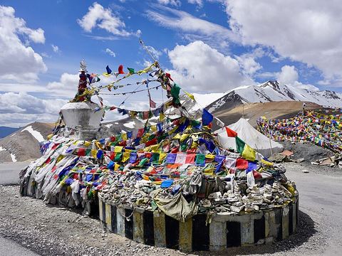 Tanglang La — Mountain pass. Pass at 5,328 m in the Leh district, the highest point of the Leh–Manali highway (NH3), which crosses four passes between Manali and Leh. 33.5078, 77.7700 · Google Maps
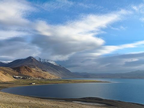 Tso Moriri — Lake. Lake at 4,522 m on the Changthang plateau, a Ramsar wetland and the largest high-altitude lake entirely within India. Karzok, on its north-west shore, has homestays and a monastery. 32.9000, 78.3000 · Google Maps
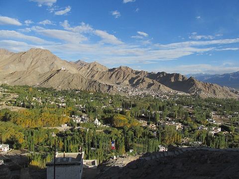 Leh — Town. Ladakh's largest city, at 3,524 m on the Indus. The seasonal roads from Srinagar and from Manali both end here, and the 17th-century Leh Palace overlooks it. 34.1529, 77.5773 · Google Maps
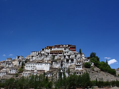 Thiksey Monastery — Monastery. Hilltop monastery at 3,600 m, 19 km east of Leh in the Indus valley, noted for its resemblance to the Potala Palace in Lhasa. 34.0557, 77.6665 · Google Maps
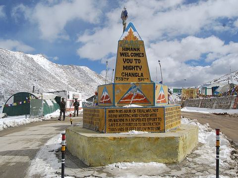 Chang La — Mountain pass. Pass at 5,360 m on the road from Leh to Pangong Tso. The 10–15 km on either side can turn to loose dirt and slush after winter, with small streams across the road in summer. 34.0470, 77.9305 · Google Maps
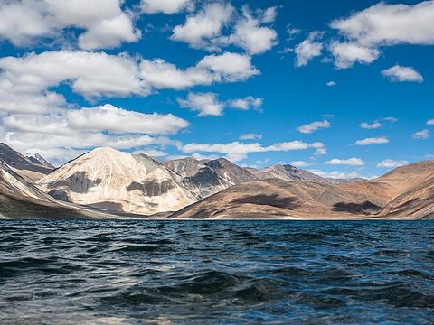 Pangong Tso — Lake. Lake at 4,300 m, 134 km long and shared between Ladakh and Tibet; the water is saline and it freezes in winter. On the Indian side a permit is needed and groups must be accompanied by an accredited guide. 33.7179, 78.8968 · Google Maps
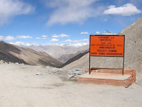 Khardung La — Mountain pass. Pass at 5,359 m, 40 km north of Leh, on the road to the Nubra valley. Non-local visitors need a permit, checked at the South Pullu and North Pullu checkpoints. 34.2783, 77.6042 · Google Maps
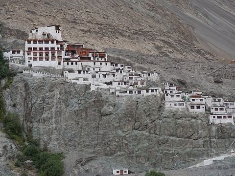 Diskit — Town. Headquarters of Nubra, about 118 km from Leh on the Shyok river, home to Diskit Monastery. Homestays and guest houses there stay open all year. 34.5512, 77.5485 · Google Maps
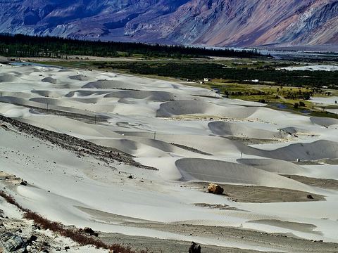 Hunder — Village. Village on the Shyok, once the capital of the Nubra kingdom, known for its sand dunes and Bactrian camels; the dunes lie between Hunder and Diskit, 7 km apart. 34.5758, 77.4948 · Google Maps
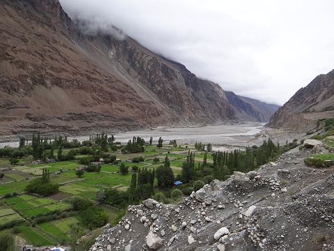 Turtuk — Village. Balti village on the Shyok, among the northernmost in India and close to the Line of Control. It is known for its apricots. 34.8470, 76.8270 · Google Maps
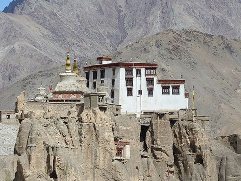 Lamayuru — Village. Village at 3,510 m on the Srinagar–Leh highway, with an 11th-century monastery; the eroded clay hills around it give the area the name 'Moon Land'. 34.2827, 76.7740 · Google Maps
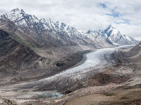 Pensi La — Mountain pass. Pass at 4,400 m, the gateway to Zanskar, on the 240 km Kargil–Padum road. It stays open six to seven months a year; the Drang-Drung glacier lies on its eastern flank. 33.8678, 76.3553 · Google Maps
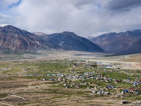 Padum — Town. Administrative centre of Zanskar, at 3,669 m in the middle of the three-armed Zanskar river valley. Karsha and Bardan monasteries are nearby. 33.4639, 76.8786 · Google Maps
Local guides in Ladakh
- Ritesh Sood — Manali, India · 4x4 car, offroad motorcycle, adventure motorcycle
- Saurabh Rai — Leh, Leh 194101 · 4x4 car, 4x4 van, adventure motorcycle
- Lalit Prakash Pillai — Leh, Leh 194101 · adventure motorcycle, offroad motorcycle
- Hiren Patel — Leh, Leh 194101 · camper / van, offroad motorcycle, adventure motorcycle, 4x4 car
- Rajesh Thakur — Palampur, India · 4x4 car, camper / van, adventure motorcycle, bicycle / e-bike
Overland trips in Ladakh
- UMLING LA MOTORCYCLE TOUR, HIGHER THAN EVEREST BASE CAMP — 12 days · India
- THE GREAT HIMALAYAN CHALLENGE TO UMLING LA PASS — 15 days · India
- Lakes & Passes of Ladakh - Trip — 8 days · India
- LADAKH - 5 LAKES & 6 HIGH PASSES - 14 Days — 14 days · India
When to go
The Leh–Manali highway is usually open for about six months, from early May until snow closes the high passes again in October; the Pensi La road to Zanskar stays open six to seven months. Nights are very cold even in summer, and Leh has long, cold winters from late November to early March.
Before you go
- All guides and trips in India
- Do you need a local guide in India?
- Is India safe to travel?
- Driving and local rules in India
Photo credits
Photos from Wikimedia Commons, under the licences shown.
- Ladakh: Stanzin1945, CC BY-SA 4.0
- 1. Baralacha La: Timothy Gonsalves, CC BY-SA 4.0
- 2. Sarchu: Plan4shoot, CC BY-SA 4.0
- 3. Tanglang La: Lianguanlun, CC BY 4.0
- 4. Tso Moriri: Tanay Kibe, CC BY-SA 2.0
- 5. Leh: Anirvan Shukla, CC BY-SA 3.0
- 6. Thiksey Monastery: Aksveer, CC BY-SA 4.0
- 7. Chang La: Siddharth Mallya, CC BY-SA 4.0
- 8. Pangong Tso: KennyOMG, CC BY-SA 4.0
- 9. Khardung La: Vyacheslav Argenberg, CC BY 4.0
- 10. Diskit: Deepank Ranka, CC BY-SA 4.0
- 11. Hunder: Raghavan V, CC BY-SA 3.0
- 12. Turtuk: Rajnish71, CC BY-SA 4.0
- 13. Lamayuru: Bernard Gagnon, CC BY-SA 4.0
- 14. Pensi La: MatousekFoto, CC BY-SA 3.0
- 15. Padum: Timothy A. Gonsalves, CC BY-SA 4.0
.jpg)


.jpg)


,_Ladakh,_North_India.jpg)


